Bridgwater Bay is on the Bristol Channel, 5 kilometres (3.1 mi) north of Bridgwater in Somerset, England at the mouth of the River Parrett and the end of the River Parrett Trail. It stretches from Minehead at the southwestern end of the bay to Brean Down in the north. The area consists of large areas of mudflats, saltmarsh, sandflats and shingle ridges, some of which are vegetated. It has been designated as a Site of Special Scientific Interest (SSSI) covering an area of 3,574.1 hectares since 1989, and is designated as a wetland of international importance under the Ramsar Convention. The risks to wildlife are highlighted in the local Oil Spill Contingency Plan.
Bridgwater Bay near the mouth of the River Parrett
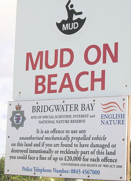
Mud danger signs on Bridgwater Bay near the mouth of the River Parrett are necessary because fast, high-amplitude tides here have led to drownings on the extensive mud flats.
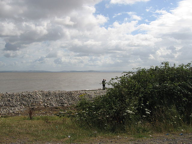
Hinkley Point in Bridgwater Bay. Brent Knoll can be seen
Flatner in the Watchet Boat Museum.
The Bristol Channel is a major inlet in the island of Great Britain, separating South Wales and South West England. It extends from the smaller Severn Estuary of the River Severn to the North Atlantic Ocean. It takes its name from the English city and port of Bristol.
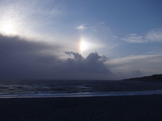
Sunrise viewed from Minehead, showing Steep Holm and Brean Down
The channel as seen from Barry, Wales
The Bristol Channel coast at Ilfracombe, North Devon, looking west towards Lee Bay, with Lundy in the distance
The Bristol Channel looking south from Llantwit Major near Barry on the Glamorgan coast