British Columbia Highway 5
Highway 5 is a 543 km (337 mi) north–south route in southern British Columbia, Canada. Highway 5 connects the southern Trans-Canada route with the northern Trans-Canada/Yellowhead route, providing the shortest land connection between Vancouver and Edmonton. Despite the entire route being signed as part of the Yellowhead Highway, the portion of Highway 5 south of Kamloops is also known as the Coquihalla Highway, while the northern portion is known as the Southern Yellowhead Highway. The Coquihalla section was a toll road until 2008.
Great Bear Snowshed (2007)
BC Highway 5 Nicola Valley (2007)
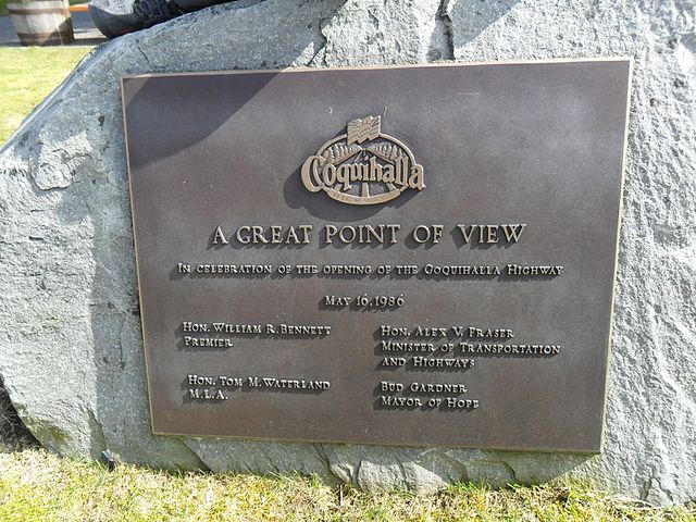
A plaque commemorating the opening of the Coquihalla Highway in Hope, British Columbia.
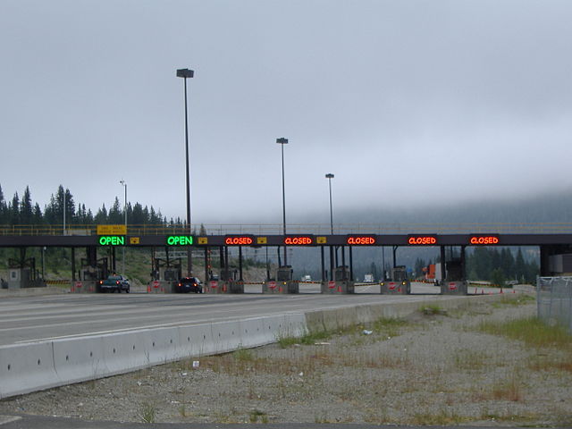
The toll booth once marked the halfway point of the formerly tolled Hope-to-Merritt portion of the highway (2006)
British Columbia Highway 1
Highway 1 is a provincial highway in British Columbia, Canada, that carries the main route of the Trans-Canada Highway (TCH). The highway is 1,047 kilometres (651 mi) long and connects Vancouver Island, the Greater Vancouver region in the Lower Mainland, and the Interior. It is the westernmost portion of the main TCH to be numbered "Highway 1", which continues through Western Canada and extends to the Manitoba–Ontario boundary. The section of Highway 1 in the Lower Mainland is the second-busiest freeway in Canada, after Ontario Highway 401 in Toronto.
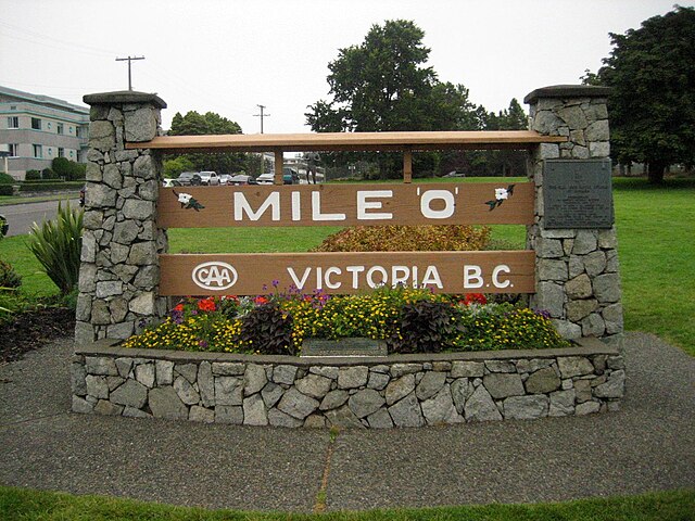
The beginning of Hwy 1 at the Mile Zero monument in Victoria
Ferry traffic on Highway 1 at the Horseshoe Bay Ferry Terminal (2006)
Ironworkers Memorial Second Narrows Crossing (2008)
Highway 1 as it enters Vancouver from Burnaby (2006)


