Burlington Heights (Ontario)
Burlington Heights refers to a promontory or area of flat land sitting elevated above the west end of Hamilton Harbour in the city of Hamilton, Ontario which continues as a peninsula to the north toward the city of Burlington, Ontario. It separates Cootes Paradise Marsh on the west from the harbor on the east. Geologically the Burlington Heights is a sand and gravel bar formed across the eastern end of the Dundas Valley by Glacial Lake Iroquois. It is the northern continuation of the longer Iroquois Bar which extends south into Hamilton.
View of Burlington Heights from Burlington.
Stone markers and cannon. The centre stone marks the first line of earthwork defences erected at the Heights' during the War of 1812.
Dundurn Castle, c. 1890s. The building was erected in the 1830s at the southern end of the promontory.
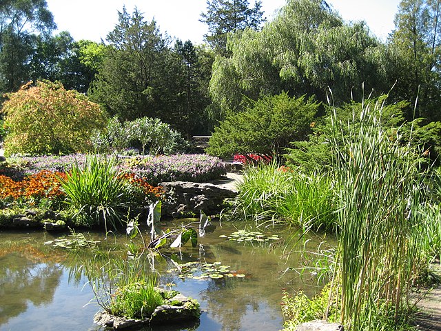
The Rock Garden at Royal Botanical Gardens lies at the north end of the Burlington Heights
Cootes Paradise is a property with many boundaries, but is primarily a property of the Royal Botanical Gardens at the western end of Lake Ontario, but is also remnant of the larger 3700 acre Dundas Marsh Crown Game Preserve established by the province of Ontario in 1927., dominated by a 4.5 km long rivermouth wetland, representing the lake's western terminus. It is found on the west side of Hamilton Harbour and is located in the municipality of Hamilton, Ontario, Canada. Cootes Paradise Environmentally Sensitive Area is larger "core area" within the City of Hamilton's Natural Heritage System and has a very similar boundary to the original Dundas Crown Game Preserve.
Cootes Paradise from the hill, painted on 11 June 1796 by Elizabeth Simcoe
Cormorants at Cootes Paradise
Lookout tower on the marsh boardwalk