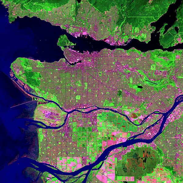
The Burrard Peninsula is a peninsula in the Lower Mainland region of British Columbia, Canada, bounded by the Burrard Inlet to the north, the Georgia Strait to the west, the North Arm of Fraser River to the south, and the Pitt River and Douglas Island to the east. The City of Vancouver occupies almost all of the western half of the peninsula, and the Cities of Burnaby and New Westminster occupy more than half of the eastern half. At its northeastern end, the peninsula is connected to the Eagle Mountain and Mount Burke of the Coast Mountains via a small isthmus at the center of the Tri-Cities.
False-colour satellite photo of Vancouver region, with the western and central sections (Vancouver, Burnaby, and New Westminster) of the Burrard Peninsula visible.
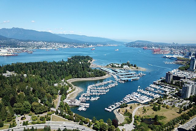
Burrard Inlet is a shallow-sided fjord in the northwestern Lower Mainland, British Columbia, Canada. Formed during the last Ice Age, it separates the City of Vancouver and the rest of the lowland Burrard Peninsula to the south from the coastal slopes of the North Shore Mountains, which span West Vancouver and the City and District of North Vancouver to the north.
Aerial view of Burrard Inlet
Part of the Outer Harbour (upper area), extending to part of the Central Harbour (lower area) on April 5, 2022. Taken from the International Space Station during Expedition 67; north is oriented towards the right and somewhat down.
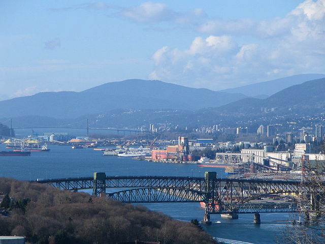
Burrard Inlet and the Second Narrows Ironworkers Memorial Bridge, looking west from Capitol Hill in Burnaby