Buru is the third largest island within the Maluku Islands of Indonesia. It lies between the Banda Sea to the south and Seram Sea to the north, west of Ambon and Seram islands. The island belongs to Maluku province and includes the Buru and South Buru regencies. Their administrative centers, Namlea and Namrole, respectively, have ports and are the largest towns of the island, served by Namlea Airport and Namrole Airport respectively.
Kayeli bay near Namlea in July 1949
Buru racket-tail is endemic to the island
Clove – a spice, which played a significant role in the history of Buru
Clove tree
The Maluku Islands or the Moluccas are an archipelago in the eastern part of Indonesia. Tectonically they are located on the Halmahera Plate within the Molucca Sea Collision Zone. Geographically they are located east of Sulawesi, west of New Guinea, and north and east of Timor. Lying within Wallacea, the Moluccas have been considered a geographical and cultural intersection of Asia and Oceania.
Drawing of Ternate by a presumably Dutch artist. Inset shows Saint John Baptist Portuguese-built fort on the island
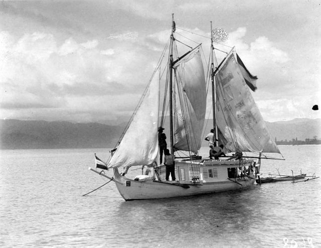
An orembai, a common traditional sailing vessel of the Maluku Islands
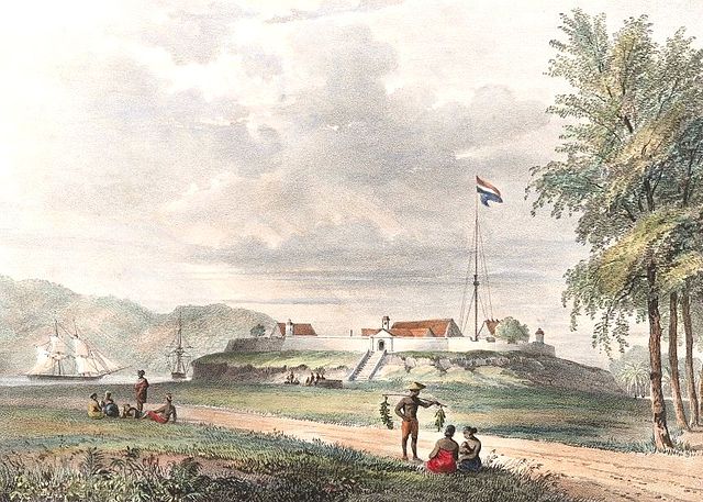
Fort Duurstede in Saparua, 1846
Tanimbar warriors


