Butaritari is an atoll in the Pacific Ocean island nation of Kiribati. The atoll is roughly four-sided. The south and southeast portion of the atoll comprises a nearly continuous islet. The atoll reef is continuous but almost without islets along the north side. Bikati and Bikatieta islets occupy a corner of the reef at the extreme northwest tip of the atoll. Small islets are found on reef sections between channels on the west side. The lagoon of Butaritari is deep and can accommodate large ships, though the entrance passages are relatively narrow. It is the most fertile of the Gilbert Islands, with relatively good soils and high rainfall. Butaritari atoll has a land area of 13.49 km2 (5.21 sq mi) and a population of 3,224 as of 2015. During World War II, Butaritari was known by United States Armed Forces as Makin Atoll, and was the site of the Battle of Makin. Locally, Makin is the name of a separate but closest atoll, 3 kilometres to the northeast of Butaritari, but close enough to be seen. These two atolls share a dialect of the Gilbertese language.

The causeway connecting Tanimaiaki and Keuea
Portrait of a native of the Makin islands, drawn by Alfred Thomas Agate (1841)
A war monument in Ukiangang village, Butaritari
Kiribati, officially the Republic of Kiribati, is an island country in the Micronesia subregion of Oceania in the central Pacific Ocean. Its permanent population is over 119,000 as of the 2020 census, with more than half living on Tarawa atoll. The state comprises 32 atolls and one remote raised coral island, Banaba. Its total land area is 811 km2 (313 sq mi) dispersed over 3,441,810 km2 (1,328,890 sq mi) of ocean.
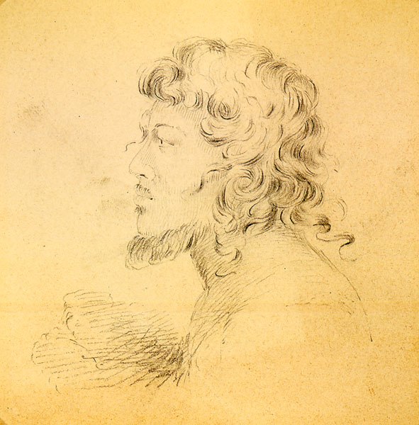
Portrait of a native of the Makin Islands, drawn by Alfred Thomas Agate (1841)
Declaration of a protectorate on Abemama by Captain EHM Davis, 27 May 1892
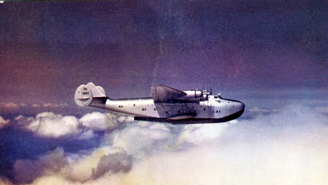
Boeing 314 Clipper in cruise, 1940
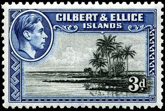
Stamp with portrait of King George VI, 1939