Cajon Pass is a mountain pass between the San Bernardino Mountains to the east and the San Gabriel Mountains to the west in Southern California. Created by the movements of the San Andreas Fault, it has an elevation of 3,777 ft (1,151 m). Located in the Mojave Desert, the pass is an important link from the Greater San Bernardino Area to the Victor Valley, and northeast to Las Vegas. The Cajon Pass area is on the Pacific Crest Trail.
I-15 passing over Cajon Summit
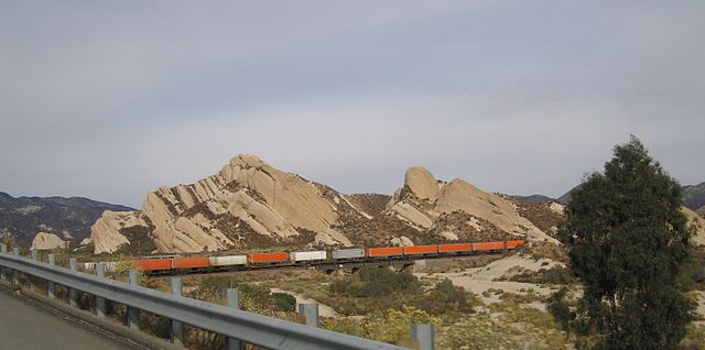
A freight train passing in front of Mormon Rocks
Near the Highway 138 and Interstate 15 junction, the Mormon Rocks are evidence of the San Andreas fault beneath the surface
Santa Fe Railway brakeman atop a train that has paused at Cajon siding to cool its brakes after descending Cajon Pass in March 1943
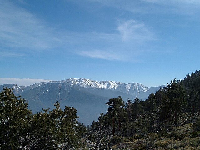
The San Bernardino Mountains are a high and rugged mountain range in Southern California in the United States. Situated north and northeast of San Bernardino and spanning two California counties, the range tops out at 11,503 feet (3,506 m) at San Gorgonio Mountain – the tallest peak in Southern California. The San Bernardinos form a significant region of wilderness and are popular for hiking and skiing.
The San Bernardinos seen from near Sugarloaf Mountain
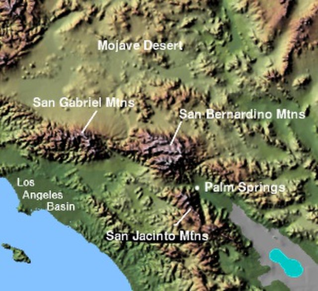
Image: Wpdms shdrlfi 020l san bernardino mountains
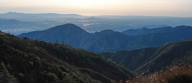
The range seen looking south from the Big Bear Valley
The mountains are named for the San Bernardino Valley, in turn named by the Spanish in 1810