Calgary–Edmonton Corridor
The Calgary–Edmonton Corridor is a geographical region of the Canadian province of Alberta. It is the most urbanized area in Alberta and is one of Canada's four most populated urban regions. It consists of Statistics Canada Alberta census divisions No. 11, No. 8, and No. 6. Measured from north to south, the region covers a distance of approximately 400 km (250 mi). As of the designations in the Canada 2021 Census of census metropolitan areas (CMAs) and census agglomerations (CAs) in Alberta, the corridor includes three of the province's four CMAs and two CAs, in addition to four other CAs already included in the Calgary and Edmonton CMAs.
Calgary, the largest city in Alberta
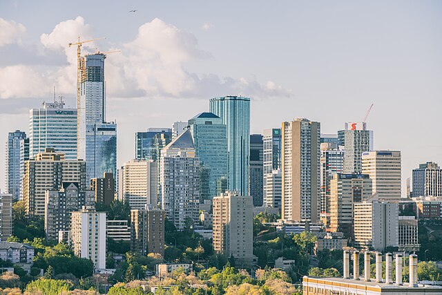
Edmonton, the capital and the second largest city in Alberta
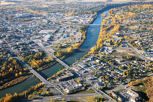
The Red Deer River flows through the city of Red Deer, AB, situated south of Edmonton and north of Calgary, approx. 150 km (93 miles, or 90 minutes‘ drive) each way.
Alberta is one of the thirteen provinces and territories of Canada. It is a part of Western Canada and is one of the three prairie provinces. Alberta borders British Columbia to the west, Saskatchewan to the east, the Northwest Territories to the north, and the U.S. state of Montana to the south. It is one of the only two landlocked provinces in Canada, with Saskatchewan being the other. The eastern part of the province is occupied by the Great Plains, while the western part borders the Rocky Mountains. The province has a predominantly continental climate but experiences quick temperature changes due to air aridity. Seasonal temperature swings are less pronounced in western Alberta due to occasional Chinook winds.
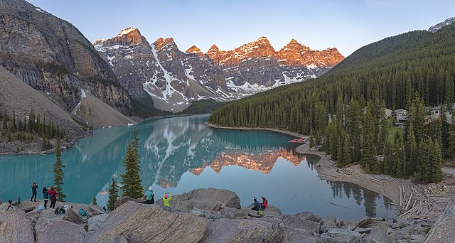
Moraine Lake at Banff National Park. The Alberta Mountain forests makes up the southwestern boundary of Alberta.
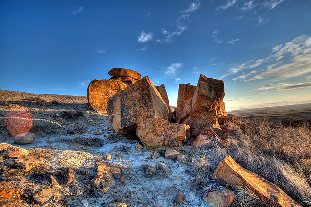
Southeastern Alberta features a semi-arid steppe climate.
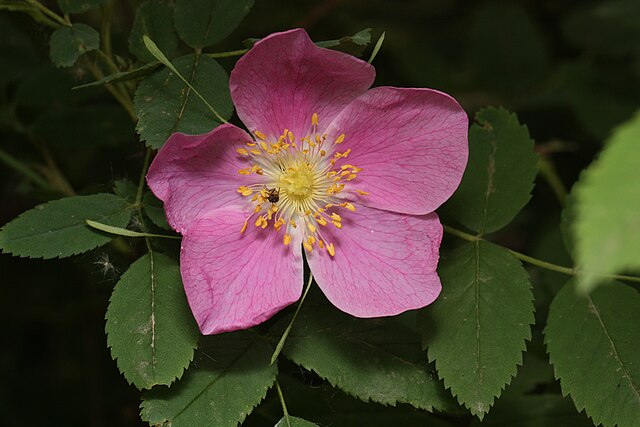
The wild rose is the provincial flower of Alberta.
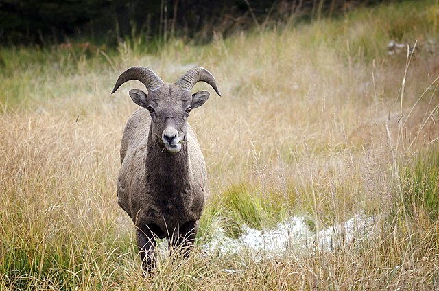
A bighorn sheep in Kananaskis Country. The bighorn sheep is the provincial mammal of Alberta.


