California State Route 33
Videos
State Route 33 is a north–south state highway in the U.S. state of California. It runs north from U.S. Route 101 in Ventura through the Transverse Ranges and the western side of the San Joaquin Valley to Interstate 5 at a point east of Tracy. SR 33 replaced part of U.S. Route 399 in 1964 during the "great renumbering" of routes. In the unincorporated sections of Kern County it is known as the West Side Highway. In addition, the California Legislature designated the entire Kern County portion as the Petroleum Highway in 2004. The southernmost portion in Ventura is a freeway known as the Ojai Freeway, while it is known as the Maricopa Highway from Ojai to Maricopa.

View northeast from near Pine Mountain Summit on SR 33, the highest elevation on the route. The Lockwood Valley and Mount Pinos are in the distance.

SR 33 heading south through Kern County

A foggy winter day looking northbound south of Brown Material Road near Blackwells Corner.
Ojai, California
Videos
Ojai is a city in Ventura County, California. Located in the Ojai Valley, it is northwest of Los Angeles and east of Santa Barbara. The valley is part of the east–west trending Western Transverse Ranges and is about 10 miles (16 km) long by 3 miles (5 km) wide and divided into a lower and an upper valley, each of similar size, surrounded by hills and mountains. The population was 7,637 at the 2020 census, up from 7,461 at the 2010 census.

Image: Ojai Valley Museum 2014 02
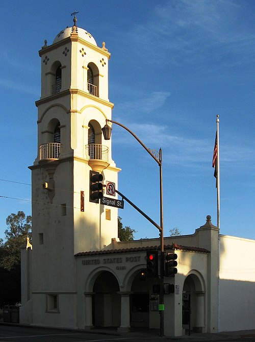
Image: Post office in Ojai, California (cropped)
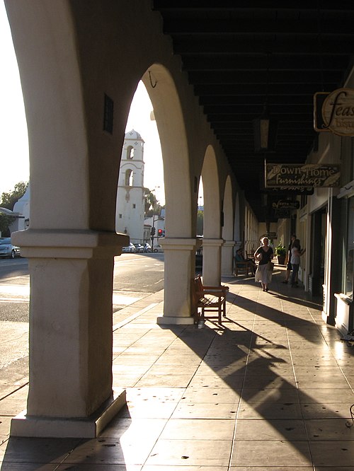
Image: Bars and cafés in Ojai, California (2) (cropped)

Image: Ojai, California (20960249094) (cropped)