California State Route 4
Videos
Page
State Route 4 is a state highway in the U.S. state of California, routed from Interstate 80 in the San Francisco Bay Area to State Route 89 in the Sierra Nevada. It roughly parallels the Sacramento-San Joaquin River Delta, a popular area for boating and fishing, with a number of accesses to marinas and other attractions. After crossing the Central Valley, the highway ascends up the Sierra foothills. It passes through Ebbetts Pass and contains the Ebbetts Pass Scenic Byway, a National Scenic Byway.
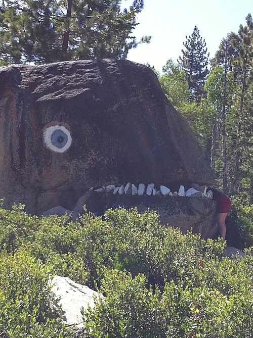
Roadside art, Ebbetts Pass Scenic Byway

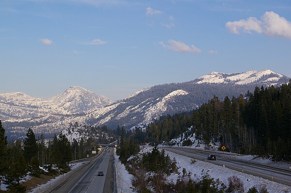
Route 4 through Humboldt-Toiyabe National Forest

Intersection of California State Routes 4 & 89

Interstate 680 crossing State Route 4, with Mount Diablo rising in background. September 30, 2007.
Interstate 80 in California
Videos
Page
Interstate 80 (I-80) is a transcontinental Interstate Highway in the United States, stretching from San Francisco, California, to Teaneck, New Jersey. The segment of I-80 in California runs east from San Francisco across the San Francisco–Oakland Bay Bridge to Oakland, where it turns north and crosses the Carquinez Bridge before turning back northeast through the Sacramento Valley. I-80 then traverses the Sierra Nevada, cresting at Donner Summit, before crossing into the state of Nevada within the Truckee River Canyon. The speed limit is at most 65 mph (105 km/h) along the entire route instead of the state's maximum of 70 mph (110 km/h) as most of the route is in either urban areas or mountainous terrain. I-80 has portions designated as the Eastshore Freeway and Alan S. Hart Freeway.
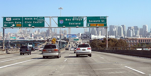
The western terminus of I-80 in San Francisco, viewed from northbound US 101
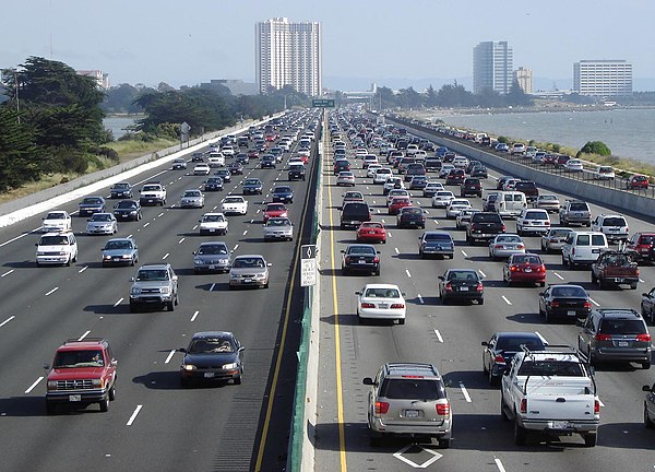
Eastshore Freeway in Berkeley, view south toward Pacific Park Plaza in Emeryville
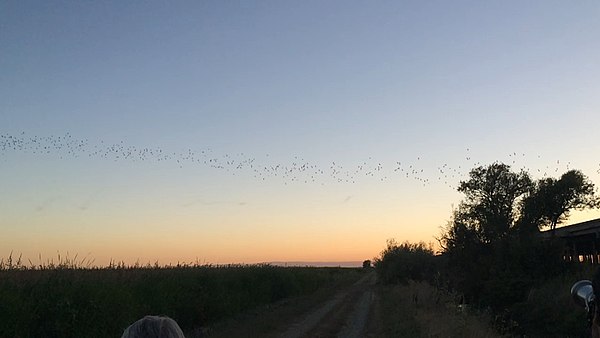
Bats flying from under the Yolo Causeway in Yolo County
Looking northeast along I-80 in the Sierra Nevada from the Yuba Gap overpass