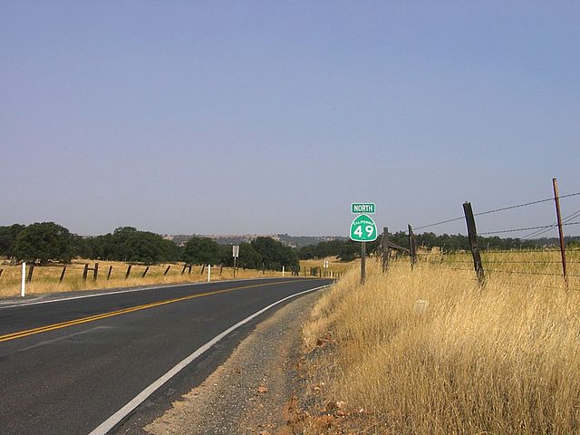
California State Route 49
State Route 49 is a north–south state highway in the U.S. state of California that passes through many historic mining communities of the 1849 California gold rush and it is known as the Golden Chain Highway. The highway's creation was lobbied by the Mother Lode Highway Association, a group of locals and historians seeking a single highway to connect many relevant locations along the Gold Rush to honor the 49ers. One of the bridges along SR 49 is named for the leader of the association, Archie Stevenot.
SR 49 crossing the American River North/Middle Fork, as seen from Foresthill Bridge (the SR 49 bridge is not visible)
The South Fork of the Yuba River as it intersects with SR 49
SR 49 in Tuolumne County
North end of SR 49, at intersection with SR 70 in Vinton
Oakhurst is a census-designated place (CDP) in Madera County, California, United States, 14 miles (23 km) south of the entrance to Yosemite National Park, in the foothills of the Sierra Nevada. At an elevation of 2,274 ft (693 m), Oakhurst is situated at the junction of Highway 41 and Highway 49, marking the southern end of California's Gold Country. It is part of the Madera metropolitan statistical area.
Image: Oakhurst California Deadwood Mountain December 2023
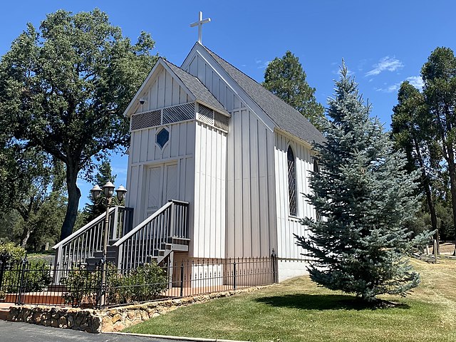
Image: Little Church on the Hill at Oakhill Cemetery in Oakhurst, California
Image: Welcome to Oakhurst
Skeane S. Skeenes, first militia casualty of the Mariposa War, buried at Oakhill Cemetery, Oakhurst.