Canada–United States border
The Canada–United States border is the longest international border in the world. The boundary is 8,891 km (5,525 mi) long. The land border has two sections: Canada's border with the contiguous United States to its south, and with the U.S. state of Alaska to its west. The bi-national International Boundary Commission deals with matters relating to marking and maintaining the boundary, and the International Joint Commission deals with issues concerning boundary waters. The agencies responsible for facilitating legal passage through the international boundary are the Canada Border Services Agency (CBSA) and U.S. Customs and Border Protection (CBP).
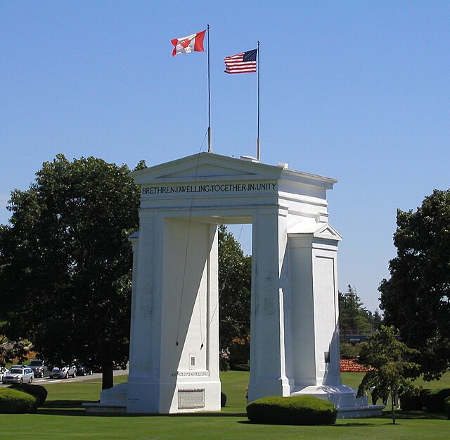
The Peace Arch at the border between Surrey, British Columbia, and Blaine, Washington
Signing of the Treaty of Ghent in 1814, which ended the War of 1812 and returned the border to its pre-war state. Subsequent treaties agreed upon saw the border demilitarized, and most boundary disputes resolved.
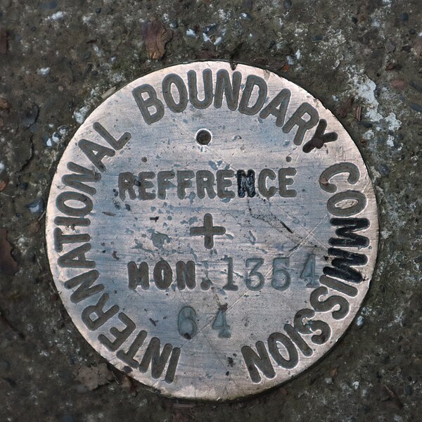
An International Boundary Commission reference monument at the Pigeon River
The Poker Creek–Little Gold Creek Border Crossing at the Alaska–Yukon border closed as a result of the COVID-19 pandemic.
Borders are usually defined as geographical boundaries, imposed either by features such as oceans and terrain, or by political entities such as governments, sovereign states, federated states, and other subnational entities. Political borders can be established through warfare, colonization, or mutual agreements between the political entities that reside in those areas.
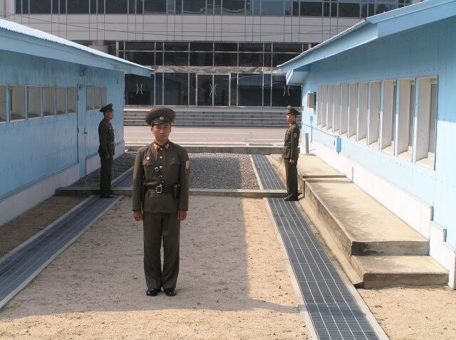
North Korean policemen standing guard at the North Korea-South Korea border. View from North Korea.
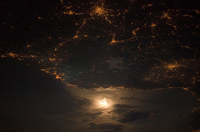
A photograph of the France–Italy border at night. The southwestern end of the Alps separates the two countries.
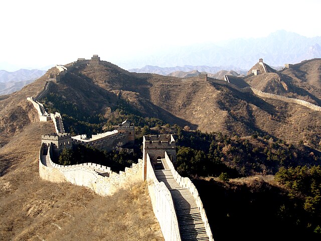
The purpose of the Great Wall of China was to stop people and militaries from crossing the northern border of China. Today it is a relic border.
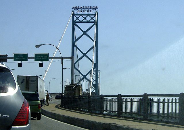
Crossing the Ambassador Bridge into Canada from the US

