Canadian Junior Football League
Videos
Photos
The Canadian Junior Football League (CJFL) is a national Major Junior Canadian football league consisting of 19 teams playing in five provinces across Canada. The teams compete annually for the Canadian Bowl. Many CJFL players move on to professional football careers in the Canadian Football League (CFL) and elsewhere.
New CJFL logo as of the 2021 season
Canadian football
Videos
Photos
Canadian football, or simply football, is a sport in Canada in which two teams of 12 players each compete on a field 110 yards (101 m) long and 65 yards (59 m) wide, attempting to advance a pointed oval-shaped ball into the opposing team's end zone.

Calgary Stampeders (in red) vs Montreal Alouettes game in 2007

A game between the Hamilton Tigers and the Ottawa Rough Riders, 1910

A game between the 4th Canadian Armoured Division Atoms and First Canadian Army Red and Blue Bombers, in Utrecht, Netherlands, October 1945
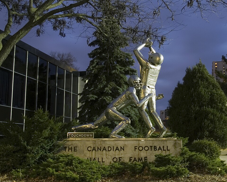
Touchdown monument outside the Canadian Football Hall of Fame in Hamilton, Ontario