Cannon River (Minnesota)
Videos
The Cannon River a tributary of the Mississippi River flows 112 miles (180 km) from Shields Lake near Shieldsville to Red Wing in the U.S. state of Minnesota, where it joins the Mississippi River. It drains a watershed approximately 1460 square miles (3,780 km²) in size. The river flows through the counties of Le Sueur, Rice, Dakota, and Goodhue.
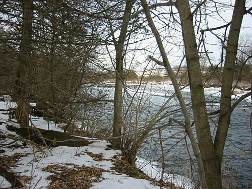
The Cannon River as seen from a snowshoe trail in Miesville Ravine Park Reserve on a winter day.

The Cannon River in April at Welch

The Cannon River

Oxford Mill, Cannon Falls.
Faribault, Minnesota
Videos
Faribault is a city in, and the county seat of, Rice County, Minnesota, United States. The population was 24,453 at the 2020 census. Faribault is approximately 50 miles (80 km) south of Minneapolis–Saint Paul.
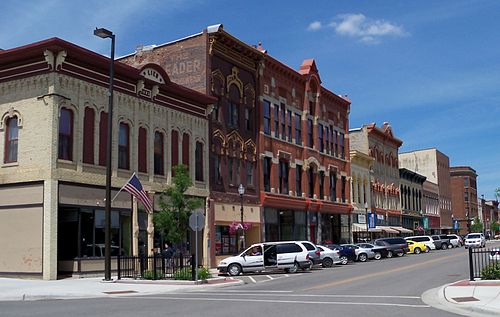
Buildings in downtown Faribault

Main Street, circa 1898

Faribault City Hall