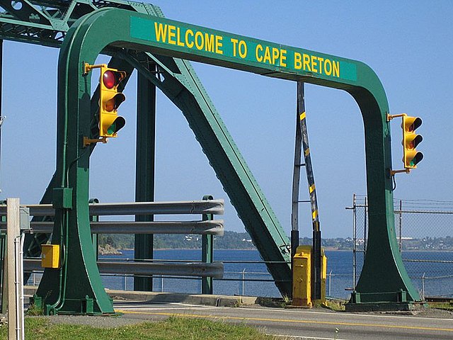
The Canso Causeway is a 1,385 m (4,544 ft) rock-fill causeway crossing the Strait of Canso, connecting Cape Breton Island by road to the Nova Scotia peninsula. Its crest thickness is 40 m (130 ft), carrying the two vehicle traffic lanes of the Trans-Canada Highway, Nova Scotia Highway 104 on the mainland side, and Nova Scotia Highway 105 on the Cape Breton side, as well as the single track mainline of the Cape Breton and Central Nova Scotia Railway.
Canso Causeway from Cape Breton Island
The Canso Canal Bridge crosses the Canso Canal at the eastern end of the causeway. The navigable canal is considered the official dividing line between Cape Breton Island and mainland Nova Scotia.
ICR rail ferry Scotia provides service across the Strait of Canso ca. 1903
The Canso Causeway viewed from the air, looking northwest toward the Aulds Cove (mainland) side from the Port Hastings (Cape Breton Island) side.
A causeway is a track, road or railway on the upper point of an embankment across "a low, or wet place, or piece of water". It can be constructed of earth, masonry, wood, or concrete. One of the earliest known wooden causeways is the Sweet Track in the Somerset Levels, England, which dates from the Neolithic age. Timber causeways may also be described as both boardwalks and bridges.
The Hindenburgdamm Rail Causeway across the Wadden Sea to the island of Sylt in Schleswig-Holstein, Germany
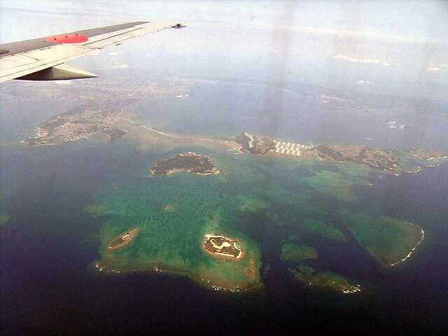
Kaichu Doro in Uruma, Okinawa-Honto, the main island of the Ryukyu Islands in Japan.
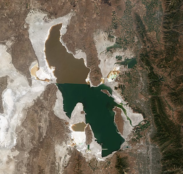
Satellite photo of the Great Salt Lake from August 2018 showing a major color difference between the northern and southern portions of the lake as a result of a mineral imbalance caused by a railroad causeway.
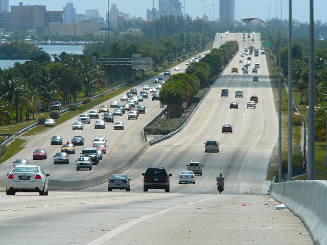
The Julia Tuttle Causeway, one of the major arteries connecting Miami and Miami Beach in Florida


