Capel is a village and civil parish in southern Surrey, England. It is equidistant between Dorking and Horsham – about 5 miles (8.0 km) away. Around Capel, to the west, skirts the A24 road. Capel is approximately 2.5 miles (4.0 km) north of the West Sussex border, 26 miles (42 km) south of London and 12 miles (19 km) southeast of Guildford and is in the Mole Valley district. The village is in the north of a landscape called the Weald, meaning forest, which forms a significant minority of the land today, particularly towards the Greensand Ridge.
Church of St John the Baptist
The Crown Inn
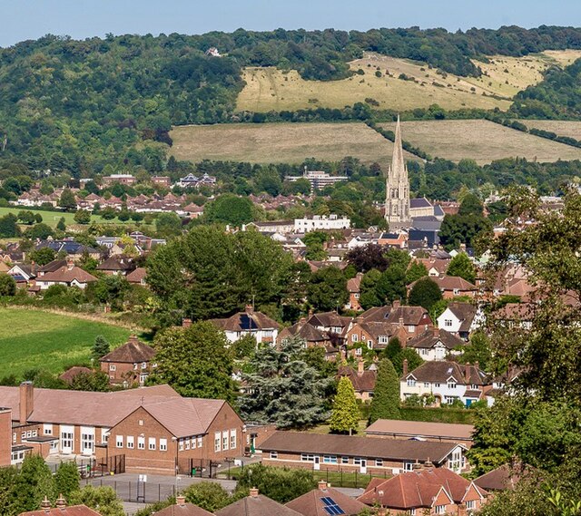
Dorking is a market town in Surrey in South East England, about 21 mi (34 km) south of London. It is in Mole Valley District and the council headquarters are to the east of the centre. The High Street runs roughly east–west, parallel to the Pipp Brook and along the northern face of an outcrop of Lower Greensand. The town is surrounded on three sides by the Surrey Hills Area of Outstanding Natural Beauty and is close to Box Hill and Leith Hill.
View northeast from The Nower towards Dorking town centre and Box Hill
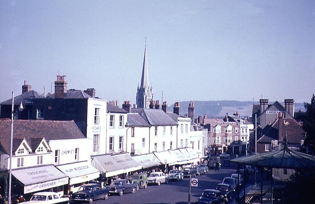
c. 1959
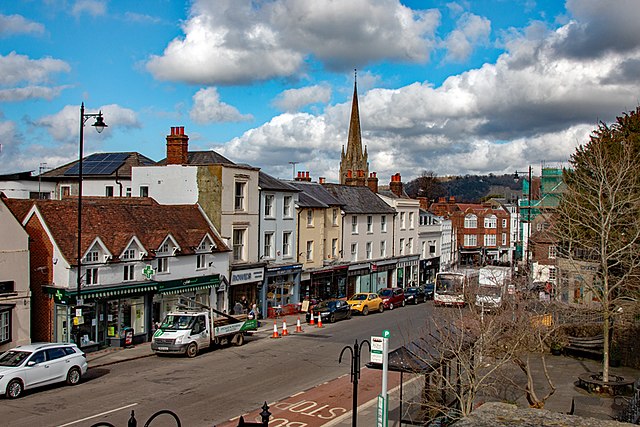
in 2022
An engraving of Deepdene House (1842) by the illustrator Thomas Allom (1804–1872)


