The cartography of the region of Palestine, also known as cartography of the Holy Land and cartography of the Land of Israel, is the creation, editing, processing and printing of maps of the region of Palestine from ancient times until the rise of modern surveying techniques. For several centuries during the Middle Ages it was the most prominent subject in all of cartography, and it has been described as an "obsessive subject of map art".
The cartography of the region of Palestine prior to modern surveying techniques is focused on a geographic region in Western Asia usually considered to include modern Israel (often excluding the Negev), the West Bank, the Gaza Strip, and parts of northwestern Jordan.
Image: Notitia Dignitatum Dux Palestinae
Image: Palestine in the Tabula Peutingeriana (cropped)
Image: 1570 Palestinae Hondius
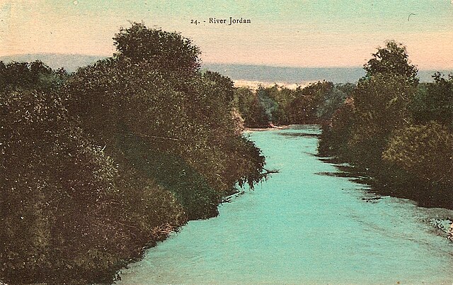
The Jordan River or River Jordan, also known as Nahr Al-Sharieat, is a 251-kilometre-long (156 mi) river in the Levant that flows roughly north to south through the freshwater Sea of Galilee and on to the salt water Dead Sea. The river passes by Jordan, Syria, Israel, and the Palestinian territories.
Jordan River
Aerial view, 1938
Coloured postcard of the Jordan River, by Karimeh Abbud, circa 1925
Rafting on Jordan River, northern Galilee


