Castle Park is a public open space in Bristol, England, managed by Bristol City Council. It is bounded by the Floating Harbour and Castle Street to the south, Lower Castle Street to the east, and Broad Weir, Newgate and Wine Street to the north. Its western boundary is less obviously defined and has been the subject of controversy, perhaps because the area around High Street and St Mary le Port Church, though not part of the park and always intended for development, is often considered at the same time as the park.
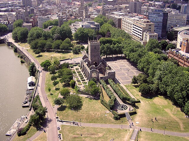
Western part of Castle Park, with ruined St Peter's Church, garden and square in centre and Bristol Bridge in top left
Cat and Wheel Tavern, corner of Castle Green and Peter Street, in about 1888
Cock and Bottle Lane seen from Castle Green in the late 19th century
Redevelopment around Castle Green and Broadmead, viewed from the River Avon
Bristol is a city, unitary authority area and ceremonial county in South West England, the most populous city in the region. Built around the River Avon, it is bordered by the ceremonial counties of Gloucestershire to the north and Somerset to the south.
The county is in the West of England combined authority area, which includes the Greater Bristol area and nearby places such as Bath.
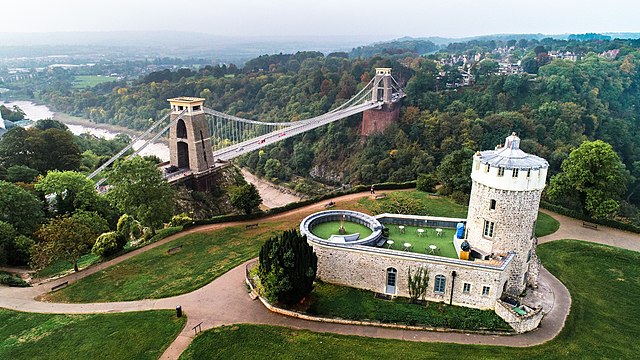
Image: Clifton Suspension Bridge and the Observatory in Bristol, England
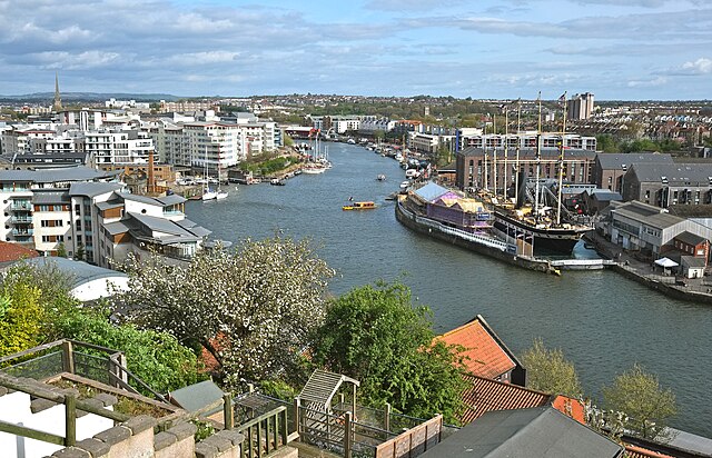
Image: Harbour View, Bristol geograph.org.uk 5352614
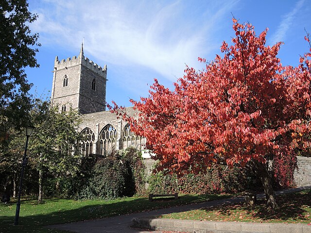
Image: Autumn colour in Castle Park (geograph 7336500)
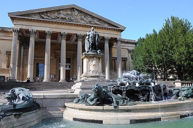
Image: Victoria Rooms in Bristol. geograph.org.uk 3690458

