Cat Island is a barrier island off the Gulf Coast of the United States, one of the Mississippi–Alabama barrier islands. The island's name comes from French explorers who mistook raccoons for cats. It is unknown who discovered Cat Island. It is within the jurisdiction of Harrison County, Mississippi. The western half and southern tip of the island is part of the Gulf Islands National Seashore.
Dunes on the south side of Cat Island
Cat Island (left) before (June 2004, bottom) and after (September 2005, top) Hurricane Katrina.
Barrier islands are a coastal landform, a type of dune system and sand island, where an area of sand has been formed by wave and tidal action parallel to the mainland coast. They usually occur in chains, consisting of anything from a few islands to more than a dozen. They are subject to change during storms and other action, but absorb energy and protect the coastlines and create areas of protected waters where wetlands may flourish. A barrier chain may extend for hundreds of kilometers, with islands periodically separated by tidal inlets. The largest barrier island in the world is Padre Island of Texas, United States, at 113 miles (182 km) long. Sometimes an important inlet may close permanently, transforming an island into a peninsula, thus creating a barrier peninsula, often including a beach, barrier beach.
Though many are long and narrow, the length and width of barriers and overall morphology of barrier coasts are related to parameters including tidal range, wave energy, sediment supply, sea-level trends, and basement controls. The amount of vegetation on the barrier has a large impact on the height and evolution of the island.
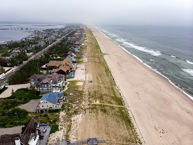
Mantoloking, New Jersey rests on the barrier island of Barnegat Bay. Note how the barrier island shields the inland Barnegat Bay (left) from the more powerful wave action of the open Atlantic Ocean (right).
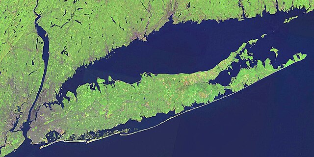
Outer barrier in Long Island
The Mississippi–Alabama barrier islands guarding Mobile Bay and the Mississippi Sound