Cavite Peninsula
Videos
The Cavite Peninsula is a peninsula extending northeast into Manila Bay from the coastal town of Noveleta in Cavite province in the Philippines. The northern tip of the peninsula is geographically the

Aerial view (c. 1964) of the Cavite Peninsula as seen from the north with Manila Bay below and right of the picture. In the foreground is the former U.S. Naval Base Sangley Point, with Cavite City adjacent in the back. Cañacao Bay is immediately to the left of the naval base. Bacoor Bay is on the left center of the picture.
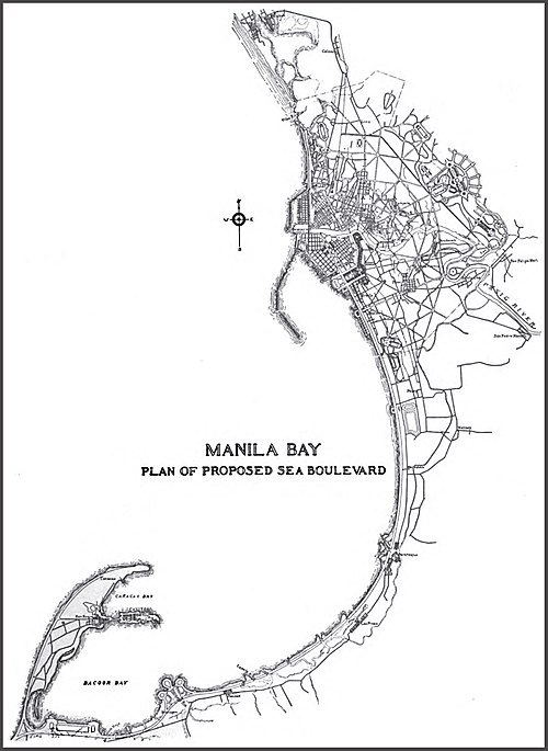
The Cavite peninsula (lower left) in relation to the City of Manila (upper middle).

The Spanish Navy Yard at the Cavite Point in 1899, a year after the Americans took over.
Danilo Atienza Air Base
Videos
Danilo Atienza Air Base is a military base used by the Philippine Air Force, located on the northern end of the Cavite Peninsula in Manila Bay, Luzon Island, Philippines. It is adjacent to Cavite City
Cavite Peninsula
…was the location of the former U.S. Naval Station Sangley Point until 1971 when it was turned over to the Philippine government. It is now called the Danilo Atienza Air Base, a Philippine Air Force base. Cavite City is divided into five districts: San Antonio on the north, Caridad at the center, San Roque at the east, Sta…

Control tower at the Danilo Atienza Air Base

Aerial view of Sangley Point and Cavite City (c. 1964) on Cavite Peninsula in Manila Bay