Cedar Hills is a census-designated place and neighborhood in Washington County, Oregon, United States south of U.S. Route 26 and west of Oregon Route 217 and within the Portland metropolitan area. Construction began in 1946.
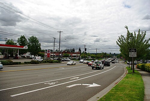
Cedar Hills Boulevard and Walker Road, looking away from the Cedar Hills CDP area
Cedar Hills in its early years
Cedar Hills Shopping Center in 1997, when the Safeway store was closing after 43 years of operation
The center in 2016, with a DMV office in the former Safeway space
Washington County, Oregon
Washington County is one of 36 counties in the U.S. state of Oregon and part of the Portland metropolitan area. The 2020 census recorded the population as 600,372, making it the second most populous county in the state and most populous "Washington County" in the United States. Hillsboro is the county seat and largest city, while other major cities include Beaverton, Tigard, Cornelius, Banks, Gaston, Sherwood, North Plains, and Forest Grove, the county's oldest city. Originally named Twality when created in 1843, the Oregon Territorial Legislature renamed it for the nation's first president in 1849 and included the entire northwest corner of Oregon before new counties were created in 1854. The Tualatin River and its drainage basin lie almost entirely within the county, which shares its boundaries with the Tualatin Valley. It is bordered on the west and north by the Northern Oregon Coast Range, on the south by the Chehalem Mountains, and on the north and east by the Tualatin Mountains, or West Hills.
Image: Washington County Courthouse entrance sign
Image: Meier Road Barn (Washington County, Oregon scenic images) (wash DA0034)
Image: Canola Field in Flower (Washington County, Oregon scenic images) (wash DA0035)
County jail in Hillsboro