The Central Coast Council is a local government area in the Central Coast region of New South Wales, Australia. It is adjacent to the Pacific Highway, Central Coast Highway, the Northern railway line and the Pacific Ocean. The council was formed on 12 May 2016 following the merger of the Gosford City and Wyong Shire Councils.

The School of Arts on the corner of Mann Street and Georgiana Terrace, Gosford, was the council seat of Gosford from 1886 to 1907, and Erina from 1907 to 1912. It was destroyed by fire and rebuilt in 1927 with only the sandstone base remaining.

Erina Shire Chambers in Gosford, built 1912.

The meeting chamber of Gosford Council Chambers on Mann Street, completed in 1939.

Gosford Council Chambers on Mann Street, completed in 1939 was the council seat until 1974, when it was demolished for the present Gosford Administration Building.
Wyong, New South Wales
Videos
Wyong is a town on the Central Coast of New South Wales, Australia. It is located approximately 63 km SSW of Newcastle and 93 km NNE of the state capital Sydney. Established in 1888, it is one of the two administrative centres for the Central Coast Council local government area.
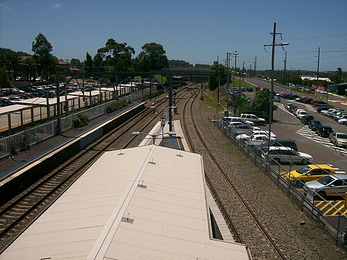
Wyong railway station