Central Oregon is a geographic region in the U.S. state of Oregon and is traditionally considered to be made up of Deschutes, Jefferson, and Crook counties. Other definitions include larger areas, often encompassing areas to the north towards the Columbia River, eastward towards Burns, or south towards Klamath Falls. These three counties have a combined population of 200,431 as of the 2010 census, with Deschutes the largest of the three counties, having approximately four times the population of the other two counties combined. As of 2015, the most populous city in the region is Bend, with an estimated 87,014 residents. As defined by the three county definition, Central Oregon covers 7,833 square miles (20,290 km2) of land. Central Oregon has had 3 record tourism years beginning in 2012. Over 2.2 million people visited Central Oregon in 2012 and again in 2013.
Panorama of Prineville in Crook County, and the Ochoco Mountains.
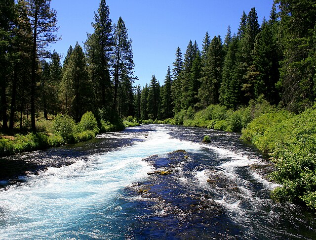
The Metolius River near Camp Sherman.
The Oregon Badlands Wilderness.
Newberry caldera at the Newberry National Volcanic Monument.
Deschutes County is one of the 36 counties in the U.S. state of Oregon. As of the 2020 census, the population was 198,253. The county seat is Bend. The county was created in 1916 out of part of Crook County and was named for the Deschutes River, which itself was named by French-Canadian trappers of the early 19th century. It is the political and economic hub of Central Oregon. Deschutes comprises the Bend, Oregon Metropolitan Statistical Area and media market. Deschutes is Oregon's fastest-growing and most recently formed county.
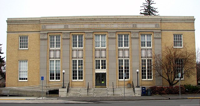
Old U.S. Post Office in Bend, Oregon
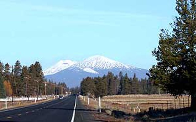
View of the Cascades near La Pine, Oregon
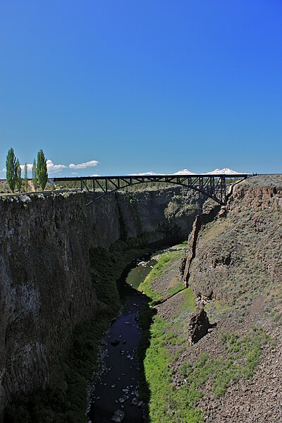
The Three Sisters mountains visible over the Crooked River Railroad Bridge north of Terrebonne


