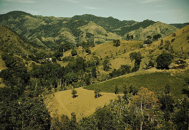
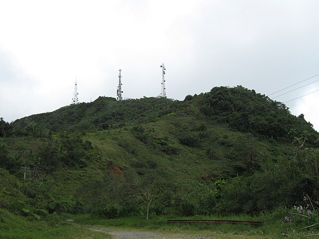
Cerro de Punta or Cerro Punta is the highest peak in Puerto Rico, rising to 1,338 meters (4,390 ft) above sea level. The mountain is part of the Cordillera Central and is located in the municipality of Ponce.
Cerro de Punta as seen from Museo de Arte de Ponce, Ponce, Puerto Rico
Driving in mountain roads tips
View of roadway from Cerro de Punta
View from Cerro de Punta, highest point in Puerto Rico
Cordillera Central (Puerto Rico)
The Cordillera Central, is the main mountain range in Puerto Rico. The range crosses the island from west to east and divides it into its northern and southern coastal plains. The Cordillera Central runs eastward from the municipality of Maricao in the west to Aibonito in the central eastern region, and on to the Caribbean in the southeast through the Sierra Cayey.
Cordillera Central runs through the municipality of Corozal, among others in central Puerto Rico.
Cerro de Punta in Ponce, the highest peak in the Cordillera Central
Cordillera Central and tabonuco forest in Sabana Grande.
View of the Cordillera from the north in Piletas, Lares.