Champaner-Pavagadh Archaeological Park
Champaner-Pavagadh Archaeological Park, a UNESCO World Heritage Site, is located in Panchmahal district in Gujarat, India. It is located around the historical city of Champaner, a city which was founded by Vanraj Chavda, the most prominent king of the Chavda Dynasty, in the eighth century. He named it after the name of his friend and general Champa, also known later as Champaraj. The heritage site is studded with forts with bastions starting from the hills of Pavagadh, and extending into the city of Champaner. The park's landscape includes archaeological, historic and living cultural heritage monuments such as chalcolithic sites, a hill fortress of an early Hindu capital, and remains of the 16th-century capital of the state of Gujarat. There are palaces, entrance gates and arches, mosques, tombs and temples, residential complexes, agricultural structures and water installations such as stepwells and tanks, dating from the eighth to the 14th centuries. The Kalika Mata Temple, located on top of the 800 metres (2,600 ft) high Pavagadh Hill, is an important Hindu shrine in the region, attracting large numbers of pilgrims throughout the year.
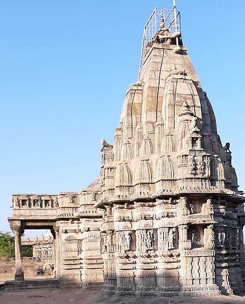
View of Jain Temple, Pavagadh in Champaner
Path on Pavagadh Hill
Oil painting on paper, Champaner, 1879
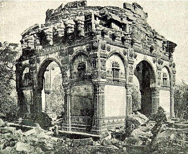
Ruined tomb at Champaner, 1893
Panchmahal, also rendered as Panch Mahal, is a district in the eastern portion of Gujarat State western India. Panch-mahal means "five tehsils/talukas", and refers to the five sub-divisions that were transferred by the Maharaja Jivajirao Scindia of Gwalior State to the British: Godhra, Dahod, Halol, Kalol and Jhalod, Devgadh Baria. The district had a population of 2,390,776 of which 12.51% were urban as of 2001.
Image: Two minars at front of main entrance of prayer hall
Image: Jain temple 03
Image: Nehru Park Godhra
Image: પાળિયા,તળાવ સ્થિત