Charles Street (Boston)
Videos
Page
Charles Street is the name of a north-south street in the city center of Boston, Massachusetts. It begins in the north at Leverett Circle, where it connects with Nashua Street and Monsignor O'Brien Highway. Science Park station on the MBTA Green Line is located there. Charles Street runs south and gives its name to the Charles/MGH station on the MBTA Red Line, connecting via the Charles Circle rotary to Cambridge Street and the Longfellow Bridge which leads to Cambridge. This segment is a one-way street, with traffic heading northwards.

Charles Street in bloom

View of Charles St., Public Garden and Common, from State House, 19th century
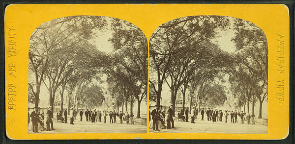
Charles Street Mall on the Common, 19th century

Charles Street Jail
Massachusetts Route 28
Videos
Page
Route 28 is a 151.93-mile-long (244.51 km) nominally south–north state highway in the U.S. state of Massachusetts, running from the town of Eastham via Boston to the New Hampshire state line in Methuen. Following the route from its nominally southern end, Route 28 initially heads south to the town of Chatham then turns west to follow along the south shore of Cape Cod. In Falmouth, Route 28 turns north and continues through the western part of Plymouth County and the eastern part of Norfolk County; it then passes through downtown Boston before heading north via Lawrence to the New Hampshire state line, where it continues as New Hampshire Route 28.

McGrath Highway (Route 28) in Somerville.

The 2016-closed McGrath Highway "tunnel"