Chell, Staffordshire
Videos
Photos
Chell is a suburb of the city of Stoke-on-Trent in the ceremonial county of Staffordshire, England, that can be subdivided into Little Chell, Great Chell and Chell Heath. It lies on the northern edge of the city, approximately 1-mile (1.6 km) from Tunstall, 2 miles (3.2 km) from Burslem and 3 miles (4.8 km) from the county border with Cheshire. Chell borders Pitts Hill to the west, Tunstall to the south west, Stanfield and Bradeley to the south, with the outlying villages of Packmoor and Brindley Ford to the north and Ball Green to the east.
Since 2011 the area has been divided into the electoral wards of Bradeley & Chell Heath, Great Chell & Packmoor and Little Chell & Stanfield.

St Michael's Church, Great Chell

Chell Workhouse circa 1839

The landscaped spoil heap of the former Chatterley Whitfield mine, viewed across a lake of Whitfield Valley nature reserve.

Church of the Saviour, Chell Heath
Stoke-on-Trent
Videos
Photos
Stoke-on-Trent is a city and unitary authority area in Staffordshire, England, with an area of 36 square miles (93 km2). In 2021, the city had an estimated population of 258,400. It is the largest settlement in Staffordshire and is surrounded by the towns of Newcastle-under-Lyme, Alsager, Kidsgrove and Biddulph, which form a conurbation around the city.

Image: Roofscape, Stoke geograph.org.uk 4378045

Image: Bottle Kilns (Eastwood area of Hanley) geograph.org.uk 4695324

Image: At Trentham Estate 2022 084
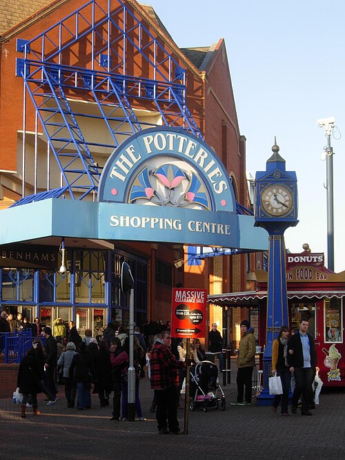
Image: The Potteries Shopping Centre geograph.org.uk 2767035