Chicago Sanitary and Ship Canal
The Chicago Sanitary and Ship Canal, historically known as the Chicago Drainage Canal, is a 28-mile-long (45 km) canal system that connects the Chicago River to the Des Plaines River. It reverses the direction of the Main Stem and the South Branch of the Chicago River, which now flows out of Lake Michigan rather than into it. The related Calumet-Saganashkee Channel does the same for the Calumet River a short distance to the south, joining the Chicago canal about halfway along its route to the Des Plaines. The two provide the only navigation for ships between the Great Lakes Waterway and the Mississippi River system.
Lock and dam of the Chicago Sanitary and Ship Canal at Lockport
Construction of the Chicago Drainage Canal, 1900s
Chicago Drainage Canal being built (1899)
The canal at Willow Springs, Illinois, 1904
The Chicago River is a system of rivers and canals with a combined length of 156 miles (251 km) that runs through the city of Chicago, including its center. Though not especially long, the river is notable because it is one of the reasons for Chicago's geographic importance: the related Chicago Portage is a link between the Great Lakes and the Mississippi River Basin, and ultimately the Gulf of Mexico.
Chicago River at night in August 2015
Aerial view of the North Branch of the Chicago River, from the south, with Goose Island, near center
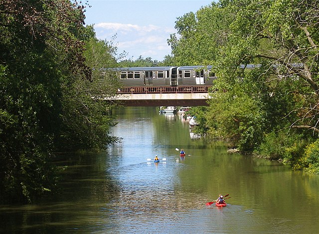
The Chicago 'L' Ravenswood train (Brown Line) crossing the north branch of the Chicago River
View west along the main stem of the Chicago River from the Outer Drive Bridge, 2009


