Chiltern Hills
Videos
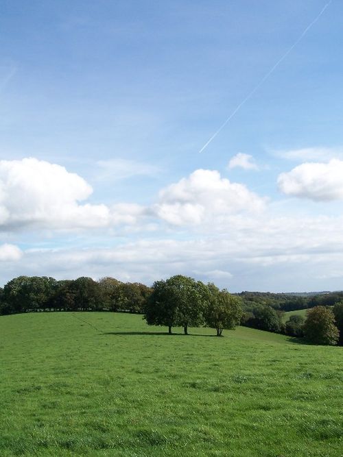
The Chiltern Hills are a chalk escarpment in southern England, northwest of London, covering 660 square miles (1,700 km2) across Oxfordshire, Buckinghamshire, Hertfordshire, and Bedfordshire, stretching 45 miles (72 km) from Goring-on-Thames in the southwest to Hitchin in the northeast. The hills are 12 miles (19 km) at their widest.

Chalk visible in ploughed soil at the foot of the Chiltern Hill escarpment near Shirburn on the Buckinghamshire/Oxfordshire border
Viewed from The Ridgeway: eastern trailhead on Ivinghoe Beacon

Stokenchurch Gap, a cutting built to carry the M40 motorway through a section of the Chiltern Hills
Downland
Videos
Downland, chalkland, chalk downs or just downs are areas of open chalk hills, such as the North Downs. This term is used to describe the characteristic landscape in southern England where chalk is exposed at the surface. The name "downs" is derived from the Old English word dun, meaning "hill".

Devil's Dyke, a dry valley in the South Downs

Beachy Head cliffs and Belle Tout Lighthouse

Galium verum (L.) Lady's Bedstraw, a typical English chalk downland plant