The China–Kyrgyzstan border is 1,063 km (661 mi) in length and runs from the tripoint with Kazakhstan following a roughly south-west line across various mountain ridges and peaks of the Tian Shan range down to the tripoint with Tajikistan. The border divides Issyk-Kul Region, Naryn Region and Osh Region in Kyrgyzstan from Aksu Prefecture and Kizilsu Kyrgyz Autonomous Prefecture in Xinjiang Uygur Autonomous Region, China.
Boundary Stone
The Sino-Russian border set forth in the Protocol of Chuguchak (1864). Today's Sino-Kazakh/Kyrgyz border largely follows the line set in this protocol, with only fairly small changes
near Almaty
near Aksu City
The Tian Shan, also known as the Tengri Tagh or Tengir-Too, meaning the "Mountains of God/Heaven", is a large system of mountain ranges in Central Asia. The highest peak is Jengish Chokusu at 7,439 metres (24,406 ft) high. Its lowest point is the Turpan Depression, which is 154 m (505 ft) below sea level.
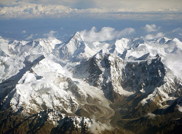
The Tian Shan range on the border between China, Kazakhstan and Kyrgyzstan with Khan Tengri (7,010 m) visible at center
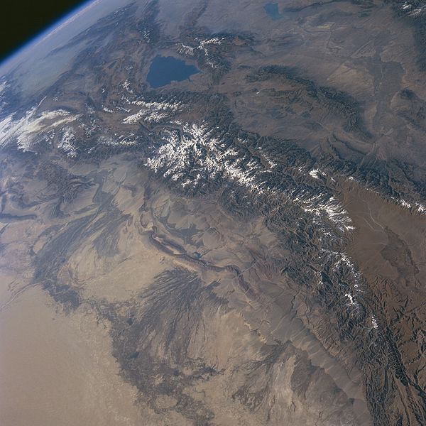
Tian Shan Mountains from space, October 1997, with Issyk-Kul Lake in Kyrgyzstan at the northern end.
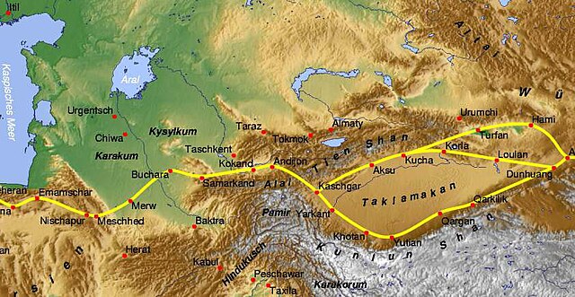
Tian Shan with the ancient Silk Road
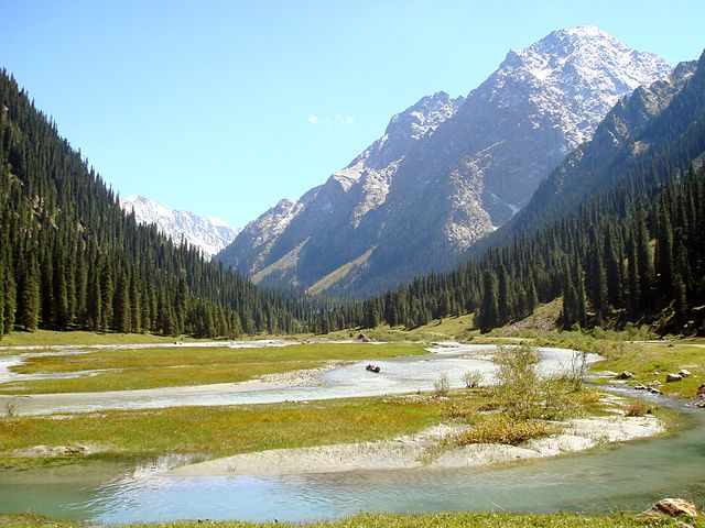
In the Karakol valley (Issyk-Kul Region, Kyrgyzstan)


