Chippewa River (Wisconsin)
The Chippewa River in Wisconsin flows approximately 183 miles (294 km) through west-central and northwestern Wisconsin. It was once navigable for approximately 50 miles (80 km) of its length, from the Mississippi River, by Durand, northeast to Eau Claire. Its catchment defines a portion of the northern boundary of the Driftless Area. The river is easily accessible for bikers and pleasure seekers via the Chippewa River State Trail, which follows the river from Eau Claire to Durand.
The Chippewa River from the west bank of the river looking south toward the Lake Street bridge in downtown Eau Claire (taken in 2007)
The Chippewa River as it passes through Pepin County, near Ella, WI.
Hydroelectric dam on the Chippewa River in Eau Claire
Citizens floating down the Chippewa River with light rapids
The Mississippi River is the primary river, and second-longest river, of the largest drainage basin in the United States. From its traditional source of Lake Itasca in northern Minnesota, it flows generally south for 2,340 miles (3,766 km) to the Mississippi River Delta in the Gulf of Mexico. With its many tributaries, the Mississippi's watershed drains all or parts of 32 U.S. states and two Canadian provinces between the Rocky and Appalachian mountains. The main stem is entirely within the United States; the total drainage basin is 1,151,000 sq mi (2,980,000 km2), of which only about one percent is in Canada. The Mississippi ranks as the thirteenth-largest river by discharge in the world. The river either borders or passes through the states of Minnesota, Wisconsin, Iowa, Illinois, Missouri, Kentucky, Tennessee, Arkansas, Mississippi, and Louisiana.
The Mississippi River in Iowa
The source of the Mississippi River at Lake Itasca
The first bridge (and only log bridge) over the Mississippi, about 25 feet south of its source at Lake Itasca
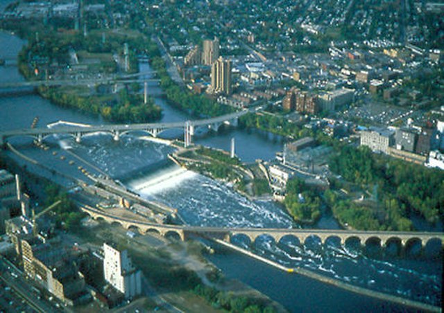
Former head of navigation, St. Anthony Falls, Minneapolis, Minnesota