The Chittagong Hill Tracts, often shortened to simply the Hill Tracts and abbreviated to CHT, are a group of districts within the Chittagong Division in southeastern Bangladesh, bordering India and Myanmar (Burma) in the east. Covering 13,295 square kilometres (5,133 sq mi), they formed a single district until 1984, when they were divided into three districts: Khagrachhari, Rangamati, and Bandarban.
Image: Sajek Valley Rangamati 2
Image: Bandarban Golden Temple
Image: Midway to Konglak Hill, Khagrachari, Bangladesh
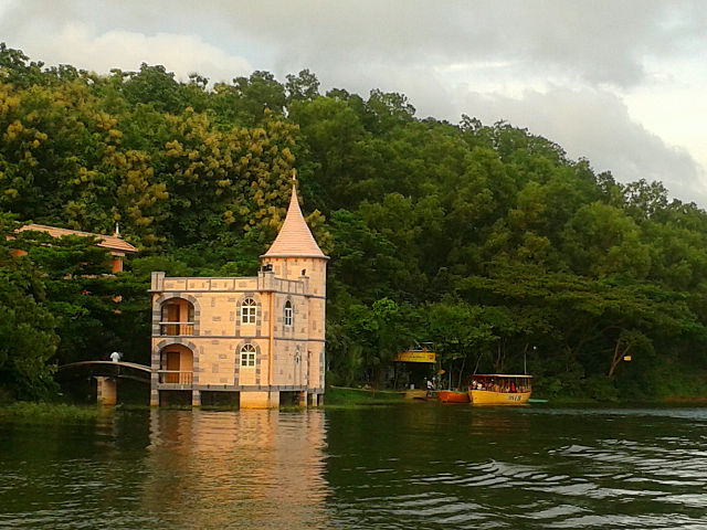
The Hanging Bridge, Rangamati Hill District
Chittagong Division, officially known as Chattogram Division, is geographically the largest of the eight administrative divisions of Bangladesh. It covers the south-easternmost areas of the country, with a total area of 34,529.97 km2 (13,332.10 sq mi) and a population at the 2022 census of 33,202,326. The administrative division includes mainland Chittagong District, neighbouring districts and the Chittagong Hill Tracts.
Image: Midway to Konglak Hill, Khagrachari, Bangladesh
Image: Sajek Valley 01
Image: Lower Ganges in Lakshmipur, Bangladesh
Image: Lake of Foy's Lake