City of Carlisle
Videos
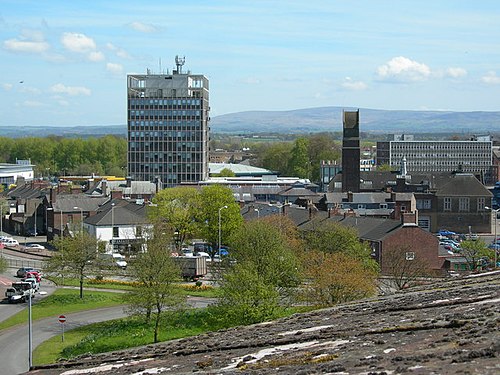
The City of Carlisle was a local government district of Cumbria, England, with the status of a city. It was named after its largest settlement, Carlisle, but covered a far larger area which included the towns of Brampton and Longtown, as well as outlying villages including Dalston, Scotby and Wetheral. In 2011 the district had a population of 107,524, and an area of 1,039.97 square kilometres (402 sq mi).
Carlisle Civic Centre in Rickergate

British Rail Class 90s in Carlisle Citadel station in the 1990s under British Rail.

Carlisle Lake District Airport
River Eden, Cumbria
Videos
The River Eden is a river that flows through the Eden District of Cumbria, England, on its way to the Solway Firth.

The Eden at Appleby-in-Westmorland