The Clay Belt is a vast tract of fertile soil in Canada, stretching across Cochrane District in Ontario and Abitibi County in Quebec, covering 180,000 square kilometres (69,000 sq mi) in total with 120,000 square kilometres (46,000 sq mi) of that in Ontario. It is generally subdivided into the Great Clay Belt to the north running eastward from Kapuskasing, past Lake Abitibi and on to Amos, and the V-shaped Lesser Clay Belt to its south, running from Englehart down to the Wabi River to the northern tip of Lake Timiskaming, and long the eastern side of Timiskaming and back up to Rouyn-Noranda. The Clay Belt is the result of the draining of the Glacial Lake Ojibway around 8,200 BP, whose lakebed sediment forms the modern landform. The Clay Belt is surrounded by the Canadian Shield, forming an island of "southern flatlands" in the midst of the hilly and rocky surroundings. Similar "glaciolacustrine deposits" dot the northern areas of Ontario, Quebec and Labrador.

This satellite photo of Lake Timiskaming shows a clear difference in landforms, with the muskeg of the Canadian Shield to the southwest and flatter drained and cleared area of the Lesser Clay Belt to the north and east. The white coloring is due to snow lying on the flat land, while it is hidden under the fir-covered Shield to the south.
Graphic describing lands affected by The Forestry Act, 1927
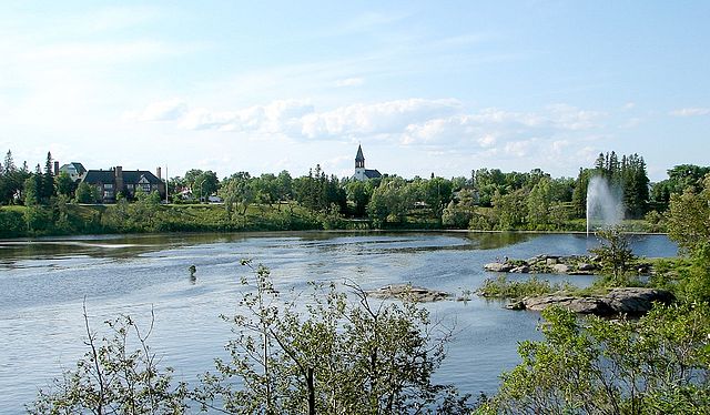
Kapuskasing is a town on the Kapuskasing River in the Cochrane District of Northern Ontario, Canada, approximately 92 kilometres (57 mi) east of Hearst and 130 kilometres (81 mi) northwest of Timmins. The town was known as MacPherson until 1917, when the name was changed so as not to conflict with another railway stop in Manitoba.
Kapuskasing as seen across the Kapuskasing River
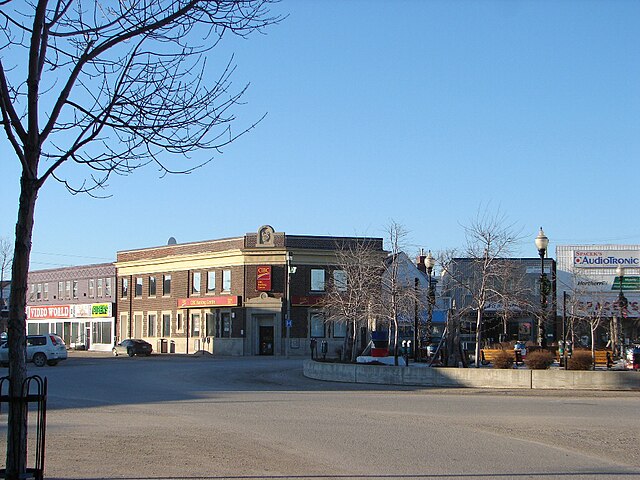
Town centre of Kapuskasing
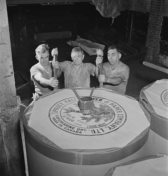
Reel room at the New York Times in 1942, with Spruce Falls Power and Paper Company paper reel
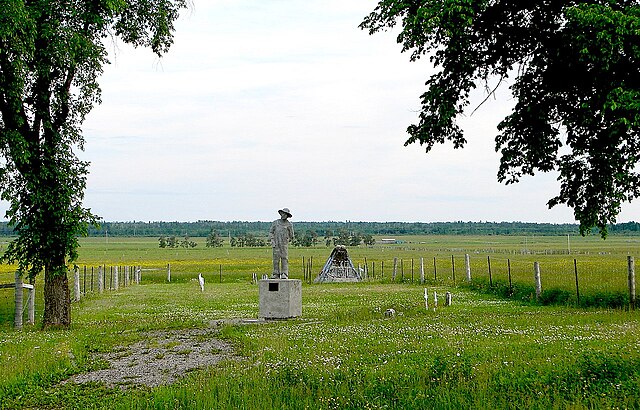
Ukrainian Cemetery of Kapuskasing Internment Camp