Clear Water Bay Road is a major road from Choi Hung Interchange in Ngau Chi Wan to Clear Water Bay, Sai Kung District. It also is a route to Sai Kung Town and Tseung Kwan O via Hiram's Highway and Hang Hau Road / Ying Yip Road respectively. An expressway deviation, New Clear Water Bay Road (新清水灣道), bypasses a steep, winding, 1 in 6 alignment of Clear Water Bay Road near Shun Lee and Fei Ngo Shan.
The Start of Clear Water Bay Road in Ngau Chi Wan in August 2006.
The spiral loop of New Clear Water Bay Road in August 2006
Sai Kung District is one of the 18 districts of Hong Kong. The district comprises the southern half of the Sai Kung Peninsula, the Clear Water Bay Peninsula in the New Territories and a strip of land to the east of Kowloon. Areas in the district include Sai Kung Town, Hong Kong UNESCO Global Geopark, Tseung Kwan O and over 70 islands of different sizes. The administrative centre had been located in Sai Kung Town until the Sai Kung District Office was relocated to Tseung Kwan O recently. The district's population is concentrated in Tseung Kwan O, as of 2011. In 2011, the district was the third youngest district, with a median age of 39.3. Known as the "back garden of Hong Kong", Sai Kung has been able to retain its natural scenery. Many traditional customs and cultures are still retained in the rural villages.
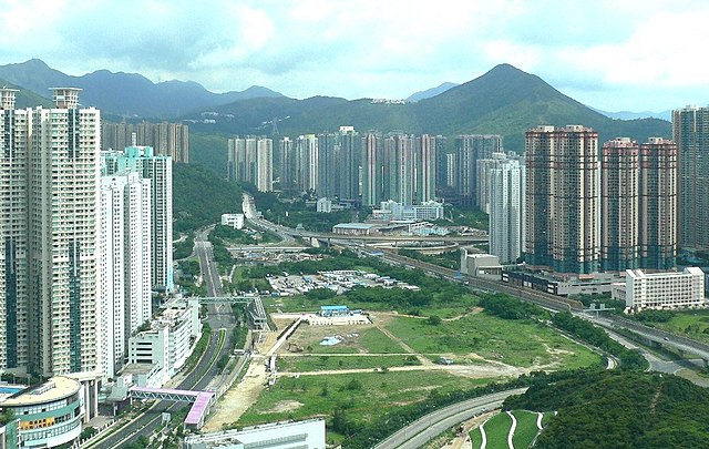
Day view of Tseung Kwan O in the Sai Kung District
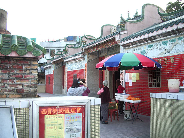
Sai Kung Tin Hau Temple, Sai Kung
Tseung Kwan O New Town
Po Pin Chau, a stack island near the High Island Reservoir East Dam


