The Clutha River is the second longest river in New Zealand and the longest in the South Island. It flows south-southeast 338 kilometres (210 mi) through Central and South Otago from Lake Wānaka in the Southern Alps to the Pacific Ocean, 75 kilometres (47 mi) south west of Dunedin. It is the highest volume river in New Zealand, and the swiftest, with a catchment of 21,000 square kilometres (8,100 sq mi), discharging a mean flow of 614 cubic metres per second (21,700 cu ft/s). The river is known for its scenery, gold-rush history, and swift turquoise waters. A river conservation group, the Clutha Mata-Au River Parkway Group, is working to establish a regional river parkway, with a trail, along the entire river corridor.
Upper Clutha Valley, looking upriver toward the Southern Alps
On the Clutha River at Albert Town, near Lake Wānaka, Central Otago
The Clutha passes under the third Balclutha Road Bridge. The first bridge at this site was destroyed during the flood of 1878.
The Clyde Dam
The South Island, also named Te Waipounamu in Māori, is the larger of the two major islands of New Zealand in surface area, the other being the smaller but more populous North Island. It is bordered to the north by Cook Strait, to the west by the Tasman Sea, and to the south and east by the Pacific Ocean. The South Island covers 150,437 square kilometres (58,084 sq mi), making it the world's 12th-largest island, constituting 56% of New Zealand's land area. At low altitude, it has an oceanic climate.
South Island
Charcoal rock drawing at Carters rockpool on the Ōpihi River
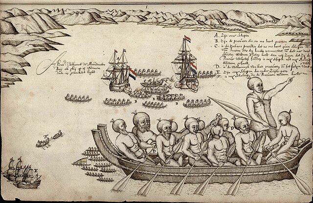
First European impression of Māori, at Murderers' Bay, 1642
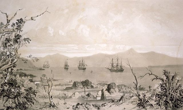
Ships in what is likely to be Akaroa Harbour some time in the early 19th century


