Coles Mills was one of the first settlements in the Southern Precinct of Dutchess County, now Putnam County, in the U.S. State of New York. Cole's Mills features prominently on the 19th Century maps of the area including the 1854 R. F. O’Connor Map of Putnam County, the 1867 F.W. Beers Map, and the United States Geological Survey map from 1892.
Cole's Mills USGS circa 1888
Cole's Mills site in 2020 at the Northwest point of the West Branch Reservoir
Historical Marker placed by the Kent Historical Society July 6, 2023
Dutchess County, New York
Dutchess County is a county in the U.S. state of New York. As of the 2020 census, the population was 295,911. The county seat is the city of Poughkeepsie. The county was created in 1683, one of New York's first twelve counties, and later organized in 1713. The county is part of the Hudson Valley region of the state.
Main Mall Row, Poughkeepsie
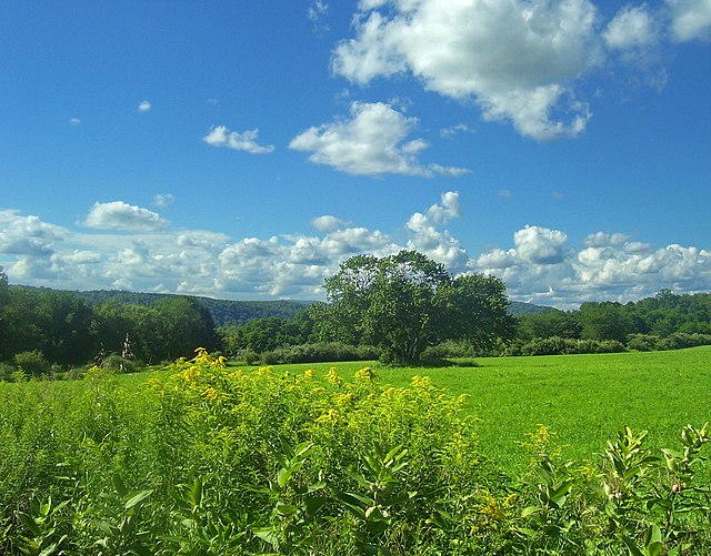
View of Harlem Valley from Appalachian Trail in Pawling
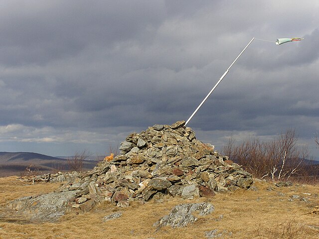
Summit of Brace Mountain, the highest point in Dutchess County
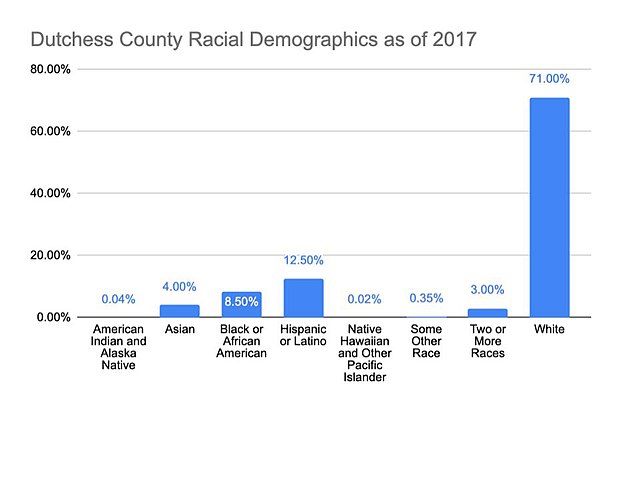
Dutchess County Racial Demographics Chart