The Colony of Virginia was an English, later British, colonial settlement in North America between 1606 and 1776.
The Indian massacre of 1622, depicted in a 1628 woodcut
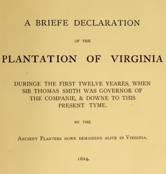
Cover to a history of the Plantation of Virginia between 1612 and 1624, compiled by its planters
Lines showing the legal treaty frontiers between the Virginia Colony and Indian Nations in various years and today's state boundaries. Red: Treaty of 1646. Green: Treaty of Albany (1684). Blue: Treaty of Albany (1722). Orange: Proclamation of 1763. Black: Treaty of Camp Charlotte (1774). The area west of this line in present-day Southwest Virginia was ceded by the Cherokee in 1775.
Hanover County Courthouse (c. 1735–1742), with its arcaded front, is typical of a numerous colonial courthouse built in Virginia.
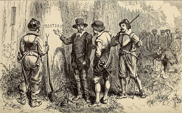
The establishment of the Roanoke Colony was an attempt by Sir Walter Raleigh to found the first permanent English settlement in America. The colony was founded in 1585, but it was visited by a ship in 1590 and the crew found that the colonists had disappeared under unknown circumstances. It has come to be known as the Lost Colony, and the fate of the 112 to 121 colonists remains unknown to this day.
19th-century illustration depicting the discovery of the abandoned colony, 1590.
The arrival of the Englishmen in Virginia (1590). Engraving by Theodor De Bry, from a drawing by John White.
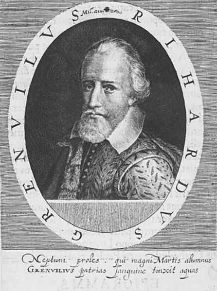
Sir Richard Grenville
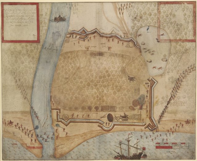
Ralph Lane's fort at Mosquetal


