Colorado Western Slope
Videos
The Western Slope is a colloquial term generally understood to describe the part of the state of Colorado west of the Continental Divide. Bodies of water west of the Divide flow toward the Pacific Ocean; water that falls and flows east of the Divide heads east toward the Gulf of Mexico. The Western Slope encompasses about 33% of the state, but has just 10% of the state's residents. The eastern part of the state, including the San Luis Valley and the Front Range, is the more populous portion of the state.

San Juan Mountains North of Telluride, Colorado, in the Western Slope

Painting of the Domínguez–Escalante expedition displayed in the Utah State Capitol building

The Western Slope is west of the Continental Divide, including Durango, Grand Junction, and Montrose
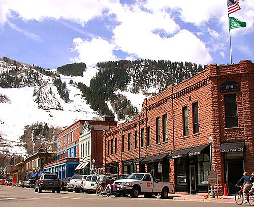
Aspen, Colorado
Videos
Aspen is a home rule municipality that is the county seat and the most populous municipality of Pitkin County, Colorado, United States. The city population was 7,004 at the 2020 United States Census. Aspen is in a remote area of the Rocky Mountains' Sawatch Range and Elk Mountains, along the Roaring Fork River at an elevation just below 8,000 feet (2,400 m) above sea level on the Western Slope, 11 miles (18 km) west of the Continental Divide. Aspen is now a part of the Glenwood Springs, CO Micropolitan Statistical Area.
Downtown Aspen (2005)

Silver mines in Aspen (1898)

Aspen (1962)

Aspen Art Museum (2015)