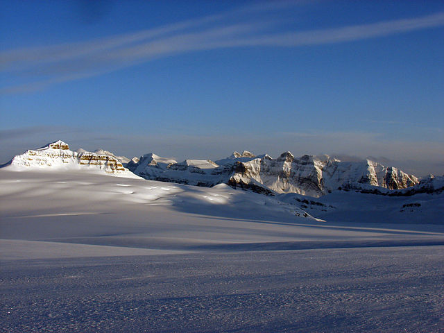
The Columbia Icefield is the largest ice field in North America's Rocky Mountains. Located within the Canadian Rocky Mountains astride the Continental Divide along the border of British Columbia and Alberta, Canada, the ice field lies partly in the northwestern tip of Banff National Park and partly in the southern end of Jasper National Park. It is about 325 square kilometres (125 sq mi) in area, 100 to 365 metres in depth and receives up to 7 metres (280 in) of snowfall per year.
Columbia Icefield with Mt. Castleguard at the left.
Mount Alberta from a high shoulder of the Columbia Icefield; on the way to The Twins (N & S). The ramp to the right leads to the Stutfields (E & W)
Mts. Athabasca & Andromeda, Athabasca Glacier and a sliver of the Columbia Icefield from Wilcox Pass
Mts. Columbia & King Edward from Colum. Icefield
An ice field is a mass of interconnected valley glaciers on a mountain mass with protruding rock ridges or summits. They are often found in the colder climates and higher altitudes of the world where there is sufficient precipitation for them to form. The higher peaks of the underlying mountain rock that protrude through the icefields are known as nunataks. Ice fields are larger than alpine glaciers, but smaller than ice caps and ice sheets. The topography of ice fields is determined by the shape of the surrounding landforms, while ice caps have their own forms overriding underlying shapes.
Southern Patagonian Ice Field
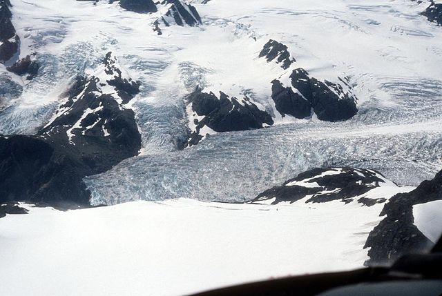
Harding Icefield, Kenai National Wildlife Refuge


