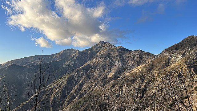
Cone Peak is the second highest mountain in the Santa Lucia Range in the Ventana Wilderness of the Los Padres National Forest. It rises nearly a vertical mile only 3 miles (4.8 km) from the coast as the crow flies. This is one of the steepest gradients from ocean to summit in the contiguous United States. The average gradient from sea level to summit is around 33%, which is steeper than the average gradient from Owens Valley to the summit of Mount Whitney. Near the mountain summit, the oak woodland and chaparral transitions to a pine forest with a few rare Santa Lucia Firs. Junipero Serra Peak at 5,865 feet (1,788 m) is the highest peak in the coastal region.
Decommissioned forest fire lookout on Cone Peak
Cone Peak (center) is visible from the Vicente Flat Trail
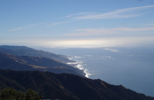
The Santa Lucia Mountains or Santa Lucia Range is a rugged mountain range in coastal central California, running from Carmel southeast for 140 miles (230 km) to the Cuyama River in San Luis Obispo County. The range is never more than 11 miles (18 km) from the coast. The range forms the steepest coastal slope in the contiguous United States. Cone Peak at 5,158 feet (1,572 m) tall and three miles (5 km) from the coast, is the highest peak in proximity to the ocean in the lower 48 United States. The range was a barrier to exploring the coast of central California for early Spanish explorers.
November 2005 view from summit of Cone Peak, the highest coastal mountain in the lower 48 US states.
Santa Lucias in the clouds, near Santa Margarita
Hearst Castle was built atop Cuesta Ridge, the first ridgeline in from the ocean in that part of the Santa Lucia range.
Tassajara Zen Mountain Center was built in the heart of the Santa Lucia range, in Monterey County.


