A control city is a city, locality, or other location posted on a series of traffic signs along a particular stretch of road indicating destinations on that route. Together with route numbers and cardinal directions, these focal points aid the motorist navigating along a highway system. Such cities appear on signs at junctions to indicate where the intersecting road goes and where the road ahead goes. They are also typically used on distance signs.
A sign in Oklahoma City, Oklahoma, lists control cities of Wichita, Kansas, and Fort Smith, Arkansas, for Interstate 35 and Interstate 40, respectively.
Distance sign showing the distance to the control cities on the A2 autostrada of Konin, Poznań, Łódź by using the motorway and national road 14, and the German-Polish border crossing of Świecko. The border crossing is no longer operational because Poland adopted the Schengen Agreement in 2007.
Following the A1 leads to Lille and Calais, and the A2 leads to Belgium- the E19 directly to Brussels and via other routes to Liège.
The E45 and E39 split at Nørresundby in Denmark. The overheads show the destinations and on the bottom, the distance to the nearest exit on the two freeways (400 metres (1,300 ft)).
Autoroute 20 is a Quebec Autoroute, following the Saint Lawrence River through one of the more densely populated parts of Canada, with its central section forming the main route of the Trans-Canada Highway from the A-25 interchange to the A-85 interchange. At 585 km (363.5 mi), it is the longest Autoroute in Quebec. It is one of two main links between Montreal and Quebec City; the other is the A-40.
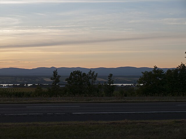
Autoroute 20 in Saint-Michel-de-Bellechasse with the Saint Lawrence River and the Laurentian Mountains at the background
Autoroute 20 westbound in Montreal, ~km 66
Hurons Rest Stop (westbound) at Sainte-Madeleine
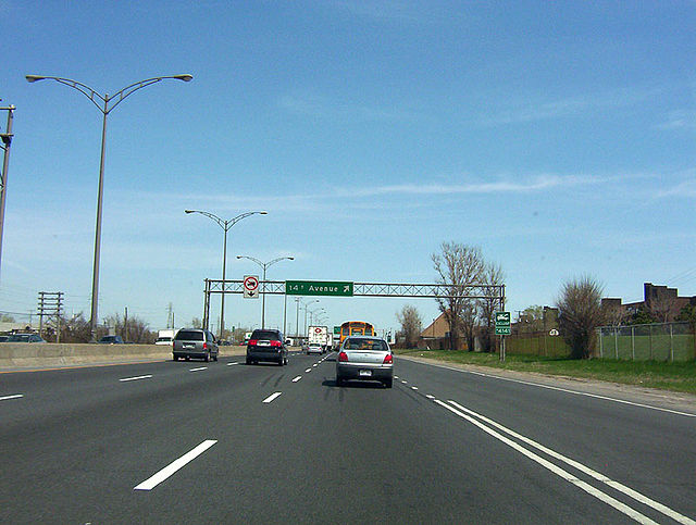
former 14th Ave. exit, Montréal, 2005