Corio Bay is one of numerous internal bays in the southwest corner of Australia's Port Phillip, and is the bay on which abuts the City of Geelong. The nearby suburb of Corio takes its name from Corio Bay.
Corio Bay, overlooking Geelong West, Drumcondra and North Geelong in 1927
Corio Bay, from The Overland, May 2011
Corio Bay, from Clifton Springs
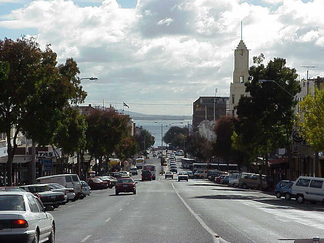
Corio Bay from Moorabool Street, Geelong
Port Phillip or Port Phillip Bay is a horsehead-shaped enclosed bay on the central coast of southern Victoria, Australia. The bay opens into the Bass Strait via a short, narrow channel known as The Rip, and is completely surrounded by localities of Victoria's two largest cities — metropolitan Greater Melbourne in the bay's main eastern portion north of the Mornington Peninsula, and the city of Greater Geelong in the much smaller western portion north of the Bellarine Peninsula. Geographically, the bay covers 1,930 km2 (750 sq mi) and the shore stretches roughly 264 km (164 mi), with the volume of water around 25 km3 (6.0 cu mi). Most of the bay is navigable, although it is extremely shallow for its size — the deepest portion is only 24 m (79 ft) and half the bay is shallower than 8 m (26 ft). Its waters and coast are home to seals, whales, dolphins, corals and many kinds of seabirds and migratory waders.
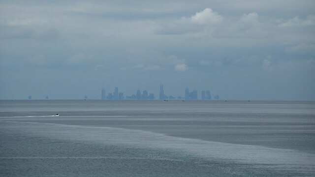
The Melbourne skyline, seen across Port Phillip.
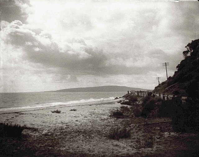
Anthony's Nose, Dromana, 1920
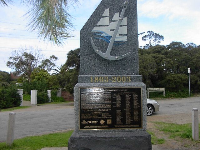
The memorial at Sorrento marking the site of the first British settlement on Port Phillip in 1803
Beacon Cove beach and apartments in Port Melbourne