Costilla Creek is a tributary of the Rio Grande in Colorado and New Mexico.
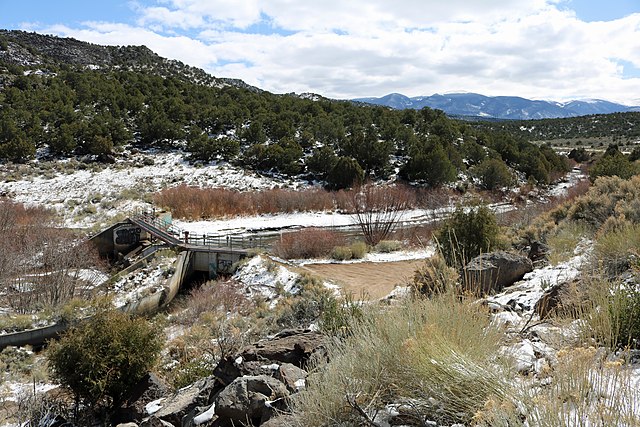
The diversion dam on the creek, just above Costilla, where the Acequia Madre begins.
Sangre de Cristo Mountains
The Sangre de Cristo Mountains are the southernmost subrange of the Rocky Mountains. They are located in southern Colorado and northern New Mexico in the United States. The mountains run from Poncha Pass in South-Central Colorado, trending southeast and south, ending at Glorieta Pass, southeast of Santa Fe, New Mexico.
The mountains contain a number of fourteen thousand foot peaks in the Colorado portion, as well as several peaks in New Mexico which are over thirteen thousand feet.
Blanca Peak
Sangre de Cristo Mountains to the East of Santa Fe, taken during a winter sunset after a snowfall on 29 January 2013
Oblique air photo of northern Sangre de Cristo Range, looking south with Great Sand Dunes near central horizon
February 2003 astronaut photography of the Sangre de Cristo Mountains from Santa Fe (bottom center) to north of Taos, taken from the International Space Station. Santa Fe Baldy peak at lower right. Valley of the Rio Grande, including the Rio Grande Gorge, west of the mountains.