Cound Brook is a tributary of the River Severn in Shropshire, England, running to south of the county town Shrewsbury. The Cound Brook rises in the Stretton Hills, and enters the River Severn at Eyton on Severn after winding its way for 22 miles (35 km) across the southern Shropshire-Severn plain. This length is measured from high on the Long Mynd.
Cound Brook viewed from Longnor Bridge
Thomas Telford's Cantlop Bridge, built in 1818
Shropshire Hills National Landscape
The Shropshire Hills National Landscape is a designated Area of Outstanding Natural Beauty (AONB) in Shropshire, England. It is located in the south of the county, extending to its border with Wales. Designated in 1958, the area encompasses 802 square kilometres (310 sq mi) of land primarily in south-west Shropshire, taking its name from the upland region of the Shropshire Hills. The A49 road and Welsh Marches Railway Line bisect the area north–south, passing through or near Shrewsbury, Church Stretton, Craven Arms and Ludlow.
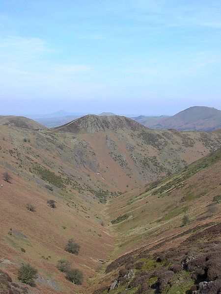
Townbrook Valley in the Long Mynd.
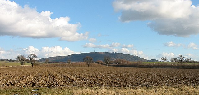
The Wrekin near Wellington.
Church Stretton is the larger of the two towns in the AONB, the other being Clun.
Bridge over the River Clun in the town of Clun.


