County Durham (district)
Videos
Photos
County Durham is a local government district in the ceremonial county of County Durham, England. It is governed by Durham County Council, a unitary authority. The district has an area of 2,232.6 km2, and contains 135 civil parishes. It forms part of the larger ceremonial county of Durham, together with boroughs of Darlington, Hartlepool, and the part of Stockton-on-Tees north of the River Tees.

Image: Durham MMB 02 Cathedral

Image: Seaham Beach geograph.org.uk 2842298

Image: Aerial view of Chester Burn Railway Viaduct, Chester le Street

Image: Barnard Castle geograph.org.uk 2482223
County Durham
Videos
Photos
County Durham, officially simply Durham (/ˈdʌrəm/), is a ceremonial county in North East England. The county borders Northumberland and Tyne and Wear to the north, the North Sea to the east, North Yorkshire to the south, and Cumbria to the west. The largest settlement is Darlington.

Image: Pasture south of Middleton in Teesdale geograph.org.uk 2186636 (cropped, edited (2))

Image: Rock Formation on Seaham Beach geograph.org.uk 3245188 (edited, cropped)
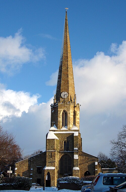
The Church of St Mary and St Cuthbert, Chester-le-Street, on the site of the wooden ninth century church built by the Lindisfarne monks

The entrance to Durham Castle, the bishops' palace until 1832 when it moved to Auckland Castle