County Route 528 (New Jersey)
Videos
Page
County Route 528 is a county highway in the U.S. state of New Jersey. The highway is designated 39.89 miles (64.20 km) from Farnsworth Avenue in Bordentown to Ocean Avenue in Mantoloking. The eastern end of the highway sustained extensive damage in 2012 when an inlet opened between Barnegat Bay and the Atlantic Ocean during Hurricane Sandy, scouring away the road east of the Mantoloking Bridge. The bridge and Route 35 intersection fully reopened in February 2013.
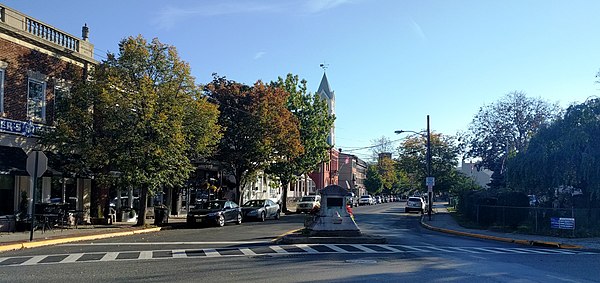
CR 528's western terminus in downtown Bordentown

View west along CR 528 at CR 537 in North Hanover
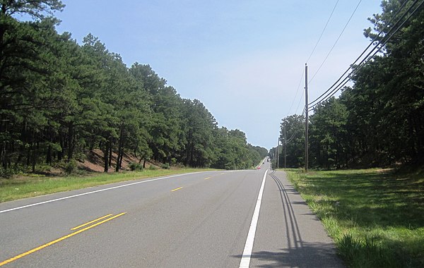
CR 528 eastbound in Jackson Township near the highest point in Ocean County

Aerial photo at eastern terminus of CR 528 at Route 35 in Mantoloking showing damage after Hurricane Sandy
County Route 545 (New Jersey)
Videos
Page
County Route 545 is a county highway in the U.S. state of New Jersey. The highway extends 14.76 miles (23.75 km) from Lakehurst Road in Pemberton Township to West Park Street in Bordentown. There is a 3.38-mile (5.44 km) stretch from Pemberton Boulevard at the Pemberton Township/New Hanover border to Rexall Avenue in Wrightstown that is permanently closed to the general public because of security restrictions on the Fort Dix entity of Joint Base McGuire–Dix–Lakehurst.

CR 545 southbound at split with CR 680 in Springfield Township, to the north of JB MDL. CR 545 provides access to Fort Dix while CR 680 provides access to McGuire AFB.
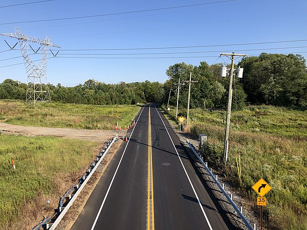
View southbound along CR 545 from I-95/New Jersey Turnpike in Bordentown Township

View south along CR 545 at Route 130 in Bordentown Township