Crowley's Ridge is a geological formation that rises 250 to 550 feet (170 m) above the alluvial plain of the Mississippi embayment in a 150-mile (240 km) line from southeastern Missouri to the Mississippi River near Helena, Arkansas. It is the most prominent feature in the Mississippi Alluvial Plain between Cape Girardeau, Missouri, and the Gulf of Mexico.
Grave of Benjamin Crowley in Shiloh Cemetery at Crowley's Ridge State Park west of Paragould, Arkansas. The inscription reads "Benjamin Crowley - 1758-1842 - The man for whom Crowley's Ridge is named"
Helena–West Helena, Arkansas
Helena–West Helena is the county seat of and the largest city within Phillips County, Arkansas, United States. The current city was consolidated, effective January 1, 2006, from the two Arkansas cities of Helena and West Helena. Helena is sited on lowlands between the Mississippi River and the eastern side of Crowley's Ridge. West Helena is located on the western side of Crowley's Ridge, a geographic anomaly in the typically flat Arkansas Delta. The Helena Bridge, one of Arkansas' four Mississippi River bridges, carries U.S. Route 49 across to Mississippi. The combined population of the two cities was 15,012 at the 2000 census and at the 2010 census, the official population was 12,282.
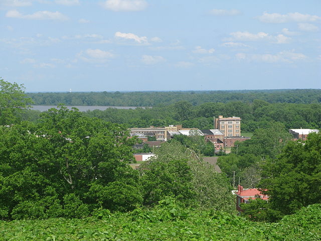
The view from the Battery C park over downtown Helena. Battery C was a station in the Battle of Helena.
Barges traveling north on the Mississippi River pass the Helena river park
The Pillow Thompson House in Helena. An example of Queen Anne-style architecture
The view from the Helena, Arkansas Confederate Cemetery of the area of the Battle of Helena


