Cumulus clouds are clouds that have flat bases and are often described as puffy, cotton-like, or fluffy in appearance. Their name derives from the Latin cumulus, meaning "heap" or "pile". Cumulus clouds are low-level clouds, generally less than 2,000 m (6,600 ft) in altitude unless they are the more vertical cumulus congestus form. Cumulus clouds may appear by themselves, in lines, or in clusters.
Small cumulus humilis clouds that can have noticeable vertical development and clearly defined edges.
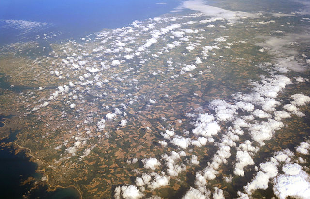
Cumulus clouds seen from above
Lines of Cumulus clouds over Brittany
Some cumulus mediocris clouds
In meteorology, a cloud is an aerosol consisting of a visible mass of miniature liquid droplets, frozen crystals, or other particles suspended in the atmosphere of a planetary body or similar space. Water or various other chemicals may compose the droplets and crystals. On Earth, clouds are formed as a result of saturation of the air when it is cooled to its dew point, or when it gains sufficient moisture from an adjacent source to raise the dew point to the ambient temperature.
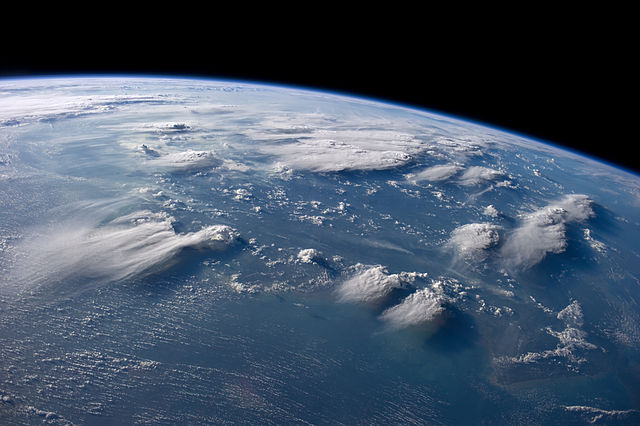
Cloudscape over Borneo, taken by the International Space Station
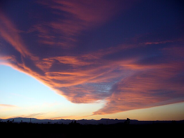
Windy evening twilight enhanced by the Sun's angle, can visually mimic a tornado resulting from orographic lift
Cirrus fibratus clouds in March
High cirrus upper-left merging into cirrostratus right and some cirrocumulus far right