Severe Tropical Cyclone Ita was the strongest tropical cyclone in the Australian region by central pressure since George in 2007, and by wind speed since Monica in 2006. The system was first identified over the Solomon Islands as a tropical low on 1 April 2014, and gradually moved westward, eventually reaching cyclone intensity on 5 April. On 10 April, Ita intensified rapidly into a powerful Category 5 system on the Australian Scale, but it weakened to a Category 4 system in the hours immediately preceding landfall the following day. At the time of landfall at Cape Flattery at 12 April 22:00 (UTC+10), the cyclone's Dvorak intensity was approximately T5.0, consistent with a weak Category 4 system, and considerably lower than the T6.5 observed when the system was at its peak intensity. Meteorologists noted the system had, at that time, begun an eyewall replacement cycle; as a result, the system was considerably less powerful than various intensity scales had predicted. As a result, Ita's impact on terrain was lessened.
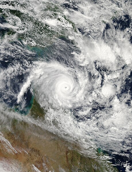
Cyclone Ita at peak intensity nearing landfall in Queensland on 11 April
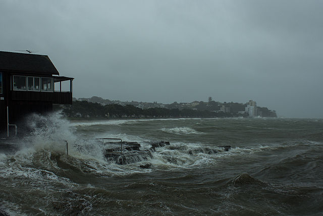
Storm surge from the remnants of Ita in Auckland near Tamaki Drive
Relief supplies from the Australian Department of Foreign Affairs and Trade
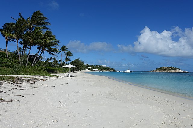
Lizard Island, also known as Jiigurru or Dyiigurra, is an island on the Great Barrier Reef in Queensland, Australia, 1,624-kilometre (1,009 mi) northwest of Brisbane. It is part of the Lizard Island Group that also includes Palfrey Island, and also part of the Lizard Island National Park. Lizard Island is within the locality of Lizard in the Cook Shire. The traditional owners of the Lizard Island group are the Aboriginal Australian clan known as the Dingaal people.
Lizard Island
Lizard Island beach
Portrait of Mary Beatrice Watson